
Horseshoe Point, cliff in Navajo County, Arizona, United States of America
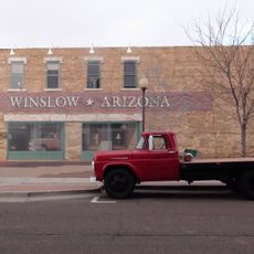
Standin' on the Corner Park
96.3 km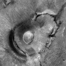
Roden Crater
89.2 km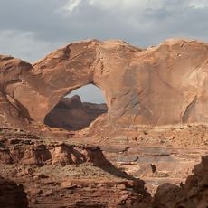
Navajo Sandstone
99.1 km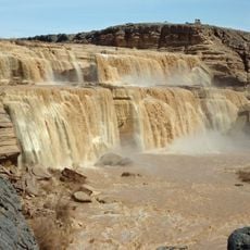
Grand Falls
84.7 km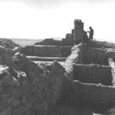
Awatovi Ruins
21.1 km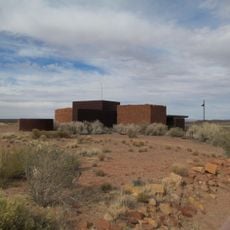
Homolovi State Park
94.8 km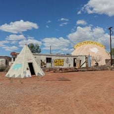
Meteor City, Arizona
96.8 km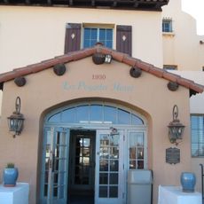
La Posada Historic District
96.5 km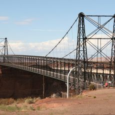
Cameron Suspension Bridge
88.5 km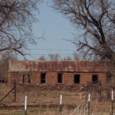
Brigham City
94 km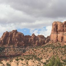
Tsegi Canyon
92.1 km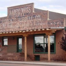
Lorenzo Hubbell Trading Post and Warehouse
96.3 km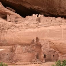
White House Ruins
91.7 km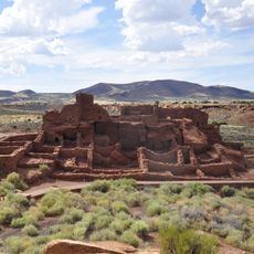
Wupatki Pueblo
93.2 km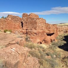
Lomaki Pueblo
98.8 km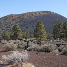
Flagstaff Area National Monuments
93.6 km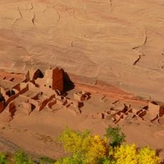
Antelope House
94.7 km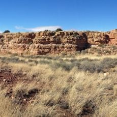
Box Canyon Pueblo
99 km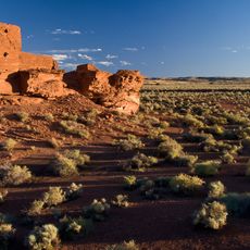
Wukoki Pueblo
89.2 km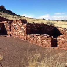
Nalakihu Pueblo
99.6 km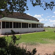
Hubbell Home
80.5 km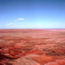
Petrified Forest National Wilderness Area
98.6 km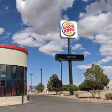
Burger King with Navajo Code Talkers exhibit
95.6 km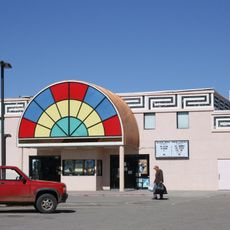
Black Mesa Twin Cinema
97.8 km
Canyon de Chelly National Monument Visitor Center
86.6 km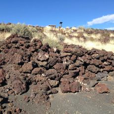
Little Doney Crater Ruins
95.3 km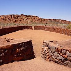
Wupatki Pueblo Ball Court
93.1 km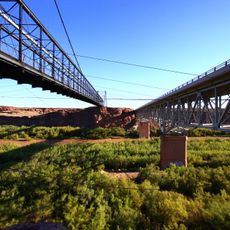
Little Colorado River Bridge
88.5 kmReviews
Visited this place? Tap the stars to rate it and share your experience / photos with the community! Try now! You can cancel it anytime.
Discover hidden gems everywhere you go!
From secret cafés to breathtaking viewpoints, skip the crowded tourist spots and find places that match your style. Our app makes it easy with voice search, smart filtering, route optimization, and insider tips from travelers worldwide. Download now for the complete mobile experience.

A unique approach to discovering new places❞
— Le Figaro
All the places worth exploring❞
— France Info
A tailor-made excursion in just a few clicks❞
— 20 Minutes