
Dafdar, village in Xinjiang, People's Republic of China
Location: Taxkorgan Tajik Autonomous County
GPS coordinates: 37.34273,75.40656
Latest update: March 25, 2025 11:52
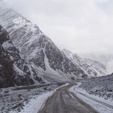
Karakoram Highway
54.9 km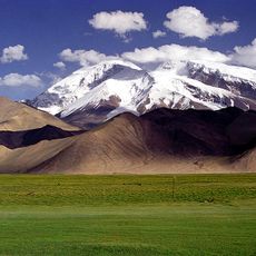
Muztagh Ata
107 km
Ultar
122.3 km
Lupghar Sar
116.3 km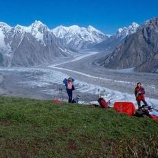
Batura Glacier
112.5 km
Distaghil Sar
115 km
Batura Sar
121.5 km
Khunjerab National Park
52.3 km
Shispare
119.5 km
Passu Sar
116.5 km
Trivor
121 km
Passu Glacier
112.9 km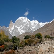
Hunza Peak
123.9 km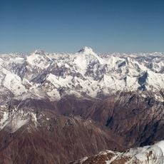
Yukshin Gardan Sar
120.6 km
Momhil Sar
118.6 km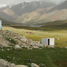
Taxkorgan Reserve
39 km
Malangutti Sar
111.2 km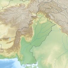
Sakar Sar
114.4 km
Bojohagur Duanasir
120.3 km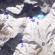
Bularung Sar
118.3 km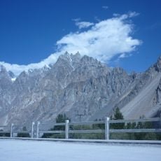
Tupopdan
97 km
Momhil Glacier
111.6 km
Vīrjerāb Glacier
121.4 km
Yāzghil Glacier
108.1 km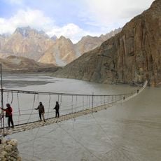
Hussaini Suspension Bridge
112.5 km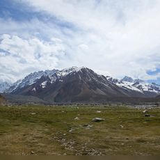
Yashkūk Yāz Glacier
114 km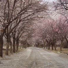
Apricot Blossom Tunnel
82 km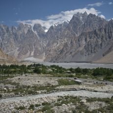
Passu Cones Viewpoint
105.6 kmReviews
Visited this place? Tap the stars to rate it and share your experience / photos with the community! Try now! You can cancel it anytime.
Discover hidden gems everywhere you go!
From secret cafés to breathtaking viewpoints, skip the crowded tourist spots and find places that match your style. Our app makes it easy with voice search, smart filtering, route optimization, and insider tips from travelers worldwide. Download now for the complete mobile experience.

A unique approach to discovering new places❞
— Le Figaro
All the places worth exploring❞
— France Info
A tailor-made excursion in just a few clicks❞
— 20 Minutes