
庞公街道
Location: Xiangcheng District
GPS coordinates: 32.00802,112.15508
Latest update: March 8, 2025 00:04
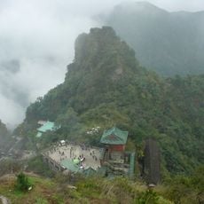
Wudang Mountains
116.9 km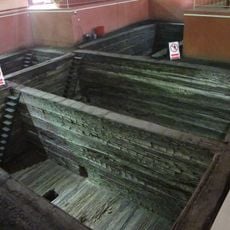
Tomb of Marquis Yi of Zeng
116.6 km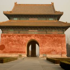
Imperial Tombs of the Ming and Qing Dynasties
119.9 km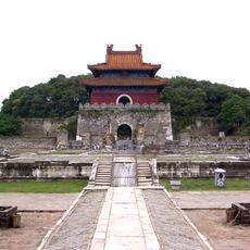
Xianling Tomb of the Ming Dynasty
99.3 km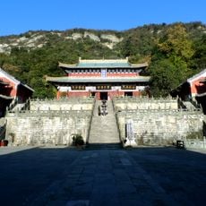
Zixiao Palace
116.4 km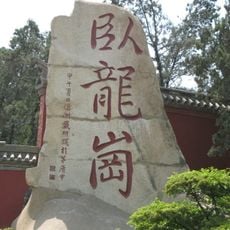
Wolong Gang
113 km
Danjiangkou Dam
87.5 km
Temple of Marquis Wu, Nanyang
113 km
Neixiang County Yamen Museum
119.4 km
Xiangyan Temple
109.5 km
Nanyan Temple
117.2 km
Zhongjing Temple
116.5 km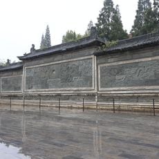
Screen Wall of Xiangyang King's Palace
890 m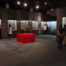
Jiuliandun Tombs
65.9 km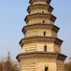
Fusheng Temple Pagoda
76.3 km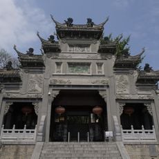
米公祠
3.1 km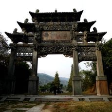
“治世玄岳”牌坊
111.3 km
Zhanghe Reservoir
106.9 km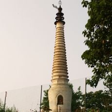
钟祥文风塔
102.5 km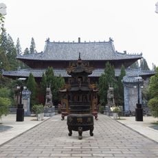
Guangde Temple
11.3 km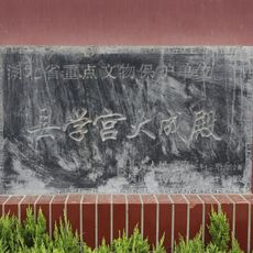
Xiangyang Confucian Temple
1.7 km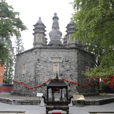
Duobao-Pagode des Guangde-Tempels
11.3 km
Zhongxiang Han River Bridge
99.4 km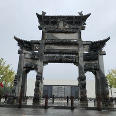
Shaosima Memorial Archway
101.3 km
Mochou Village
99.8 km
Huilongwan Scenic Area
105.2 km
Bailihuang
132.6 km
Zhongxiang Museum
101.3 kmReviews
Visited this place? Tap the stars to rate it and share your experience / photos with the community! Try now! You can cancel it anytime.
Discover hidden gems everywhere you go!
From secret cafés to breathtaking viewpoints, skip the crowded tourist spots and find places that match your style. Our app makes it easy with voice search, smart filtering, route optimization, and insider tips from travelers worldwide. Download now for the complete mobile experience.

A unique approach to discovering new places❞
— Le Figaro
All the places worth exploring❞
— France Info
A tailor-made excursion in just a few clicks❞
— 20 Minutes