Chest opened
+${chestReward.xp} XP
Explorer
NOUVEAU ×${chestReward.collectible.quantity}
tapez pour fermer
Chest locked

Open chests in the app

Around Us is built for your phone — chests unlock when you walk, explore and capture nearby places.

Enable Location

We need your location to show you interesting places around you

Discover nearby places

Find interesting locations and hidden gems around you

Precise directions

Get accurate directions and distances to places

Your location is never shared with other users. It's only used when you tap the location button.

Log in to your account

Start exploring — it's free

Trusted by 72,883 travelers worldwide

Continue with Google
Continue with Apple
or

We will send you a code to connect

By continuing, you accept our Terms and Conditions and our Privacy Policy

Check your inbox

We've sent a pincode in your inbox. Please enter the code below.

Discussion Reviews Photo
7.4k Popularity

Bell Ranch, National heritage ranch in San Miguel County, United States.

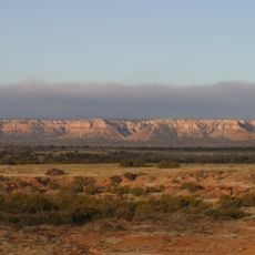
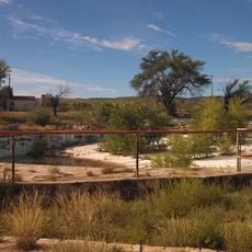
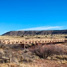
Bell Ranch spans 290,100 acres of grassland near Tucumcari with elevations between 4,300 and 5,600 feet. The operation is supported by 116 water wells, 90 miles (145 km) of pipeline, 206 stock tanks, and six cow camps that sustain the large-scale cattle business.

The land originated as a 656,000-acre Mexican grant to Pablo Montoya in 1824. Congress confirmed this grant in 1869, which established the legal foundation for the modern property.

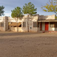
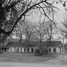
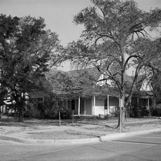
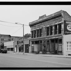
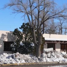
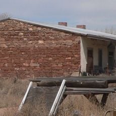
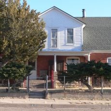
The ranch headquarters, with its White House adobe building from 1876, shows how traditional New Mexican ranching communities were built and maintained. The layout and structures reflect the daily rhythms of ranching families who have worked this land for generations.

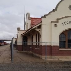
The property sits on open grassland near Tucumcari where visitors can explore the vast layout and working ranch operations. Plan your visit during cooler months to comfortably see the cattle operations and the headquarters buildings.

Silver Spur Ranches acquired the property in 2010 for 83 million dollars, making it one of the largest privately owned cattle operations in the United States. This transaction demonstrated the scale and value of major ranching operations in the modern era.

The community of curious travelers

AroundUs brings together thousands of curated places, local tips, and hidden gems, enriched daily by 60,000 contributors worldwide.

Start exploring
Location
GPS coordinates
35.52901,-104.09385
Latest update
December 8, 2025 20:02
Around this place
Trementina Base
United States of America

Trementina Base

43.3 km
Caprock Escarpment
United States of America

Caprock Escarpment

69 km
Blue Swallow Motel
United States of America

Blue Swallow Motel

52.5 km
Tucumcari Mountain
United States of America

Tucumcari Mountain

56.7 km
Conchas Lake
United States of America

Conchas Lake

20.7 km
Sabinoso Wilderness
United States of America

Sabinoso Wilderness

35.6 km
Santa Rosa Lake State Park
United States of America

Santa Rosa Lake State Park

74.5 km
Conchas Dam
United States of America

Conchas Dam

16.6 km
Wagon Mound National Historic Landmark
United States of America

Wagon Mound National Historic Landmark

75.5 km
Cactus Motor Lodge
United States of America

Cactus Motor Lodge

52.9 km
Watrous
United States of America

Watrous

87.5 km
Richardson Store
United States of America

Richardson Store

48.4 km
Amistad Gymnasium
United States of America

Amistad Gymnasium

95.3 km
Metropolitan Park Bathhouse and Pool Historic District
United States of America

Metropolitan Park Bathhouse and Pool Historic District

50.3 km
Odeon Theatre
United States of America

Odeon Theatre

51.2 km
Nara Visa School
United States of America

Nara Visa School

90.7 km
Baca-Goodman House
United States of America

Baca-Goodman House

51.4 km
Railroad Avenue Historic District (Las Vegas, New Mexico)
United States of America

Railroad Avenue Historic District (Las Vegas, New Mexico)

101.6 km
Arch Hurley Conservancy District Office Building
United States of America

Arch Hurley Conservancy District Office Building

51.6 km
Guadalupe County Courthouse in Santa Rosa
United States of America

Guadalupe County Courthouse in Santa Rosa

84.7 km
Alexander Grzelachowski House and Store
United States of America

Alexander Grzelachowski House and Store

91.5 km
J. Julian Moise House
United States of America

J. Julian Moise House

84.8 km
Douglas-Sixth Street Historic District
United States of America

Douglas-Sixth Street Historic District

100.8 km
Jesus M. Casaus House
United States of America

Jesus M. Casaus House

84.9 km
Park Lake Historic District
United States of America

Park Lake Historic District

84.3 km
Tucumcari Railroad Museum
United States of America

Tucumcari Railroad Museum

51.2 km
Princess Theatre
United States of America

Princess Theatre

51.8 km
Variadero Bridge
United States of America

Variadero Bridge

36.7 km
Show the full map
Reviews
Share your experience

No review yet

Discussions
Start a discussion...

No discussion yet

« Bell Ranch - National heritage ranch in San Miguel County, United States » is provided by Around Us (aroundus.com). Images and texts are derived from Wikimedia project under a Creative Commons license. You are allowed to copy, distribute, and modify copies of this page, under the conditions set by the license, as long as this note is clearly visible.

Discover hidden gems everywhere you go!

From secret cafés to breathtaking viewpoints, skip the crowded tourist spots and find places that match your style. Our app makes it easy with voice search, smart filtering, route optimization, and insider tips from travelers worldwide. Download now for the complete mobile experience.

Around Us App Screenshot

A unique approach to discovering new places

Le Figaro

All the places worth exploring

France Info

A tailor-made excursion in just a few clicks

20 Minutes

Around Us
Travel Guide & Maps
Download

Send to your phone

QR Code
1

Open the camera app on your mobile.

2

Point at the QR code with your camera. A notification will appear.

3

Tap the notification to open the link.