Enable Location

We need your location to show you interesting places around you

Discover nearby places

Find interesting locations and hidden gems around you

Precise directions

Get accurate directions and distances to places

Your location is never shared with other users. It's only used when you tap the location button.

Tucumcari

Log in to your account

Start exploring — it's free

Trusted by 62,057 travelers worldwide

Continue with Google
Continue with Apple
or

We will send you a code to connect

By continuing, you accept our Terms and Conditions and our Privacy Policy

Check your inbox

We've sent a pincode in your inbox. Please enter the code below.

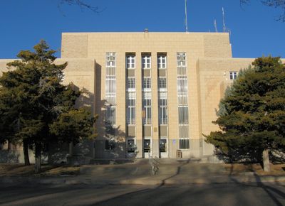
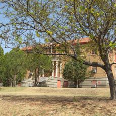
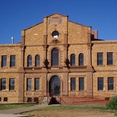
Tucumcari, County seat in eastern New Mexico, United States

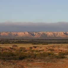
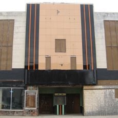
Tucumcari sits at 1,247 meters above sea level in the Canadian River valley in Quay County, eastern New Mexico, serving as the administrative center for the county. Dozens of large wall paintings cover building fronts downtown, showing scenes from regional history.

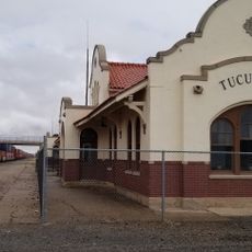
The Chicago, Rock Island and Pacific Railroad set up a construction camp in 1901, first called Ragtown and then Six Shooter Siding. The settlement gained municipal status in 1908 and grew into a supply center for ranchers and settlers with the arrival of the railway.

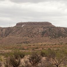
The name comes from the Comanche word tʉkamʉkarʉ, which early Spanish documents recorded as Cuchuncari for the mountain south of the settlement. Today painted building fronts recall the era when travelers relied on this stop along the old highway crossing the plains.

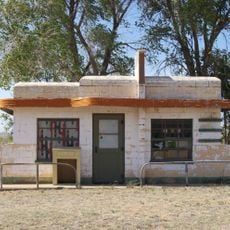
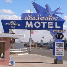
The town offers lodging and services along Interstate 40 between Amarillo, Texas, and Albuquerque, New Mexico. Most wall paintings sit within the compact downtown area and can be easily reached on foot.

Around fifty large wall paintings by artists Doug and Sharon Quarles turn the streets into an open-air gallery. The works document defining moments of the region, from the railway era to the age of cross-country highways.

The community of curious travelers

AroundUs brings together thousands of curated places, local tips, and hidden gems, enriched daily by 60,000 contributors worldwide.

Start exploring
Location
Inception
1901
Elevation above the sea
1,247 m
GPS coordinates
35.16944,-103.72556
Latest update
December 13, 2025 15:55
Around this place
Fort Sumner
United States of America

Fort Sumner

95.6 km
Trementina Base
United States of America

Trementina Base

86.4 km
Caprock Escarpment
United States of America

Caprock Escarpment

42.6 km
Glenrio
United States of America

Glenrio

62.2 km
Blue Swallow Motel
United States of America

Blue Swallow Motel

874 m
Tucumcari Mountain
United States of America

Tucumcari Mountain

4.6 km
Conchas Lake
United States of America

Conchas Lake

51.6 km
Sabinoso Wilderness
United States of America

Sabinoso Wilderness

86.2 km
Santa Rosa Lake State Park
United States of America

Santa Rosa Lake State Park

86.8 km
Conchas Dam
United States of America

Conchas Dam

49.7 km
Cactus Motor Lodge
United States of America

Cactus Motor Lodge

1.3 km
Richardson Store
United States of America

Richardson Store

32 km
Metropolitan Park Bathhouse and Pool Historic District
United States of America

Metropolitan Park Bathhouse and Pool Historic District

7.4 km
Odeon Theatre
United States of America

Odeon Theatre

1.2 km
Nara Visa School
United States of America

Nara Visa School

75.5 km
Baca-Goodman House
United States of America

Baca-Goodman House

889 m
De Baca County Courthouse
United States of America

De Baca County Courthouse

90.9 km
Arch Hurley Conservancy District Office Building
United States of America

Arch Hurley Conservancy District Office Building

742 m
Fort Sumner Railroad Bridge
United States of America

Fort Sumner Railroad Bridge

90.4 km
Guadalupe County Courthouse in Santa Rosa
United States of America

Guadalupe County Courthouse in Santa Rosa

91.2 km
Alexander Grzelachowski House and Store
United States of America

Alexander Grzelachowski House and Store

90.2 km
J. Julian Moise House
United States of America

J. Julian Moise House

91 km
Jesus M. Casaus House
United States of America

Jesus M. Casaus House

90.9 km
Park Lake Historic District
United States of America

Park Lake Historic District

90.4 km
Fort Sumner Cemetery Wall and Entry
United States of America

Fort Sumner Cemetery Wall and Entry

89.7 km
Fort Sumner Community House
United States of America

Fort Sumner Community House

90.4 km
Tucumcari Railroad Museum
United States of America

Tucumcari Railroad Museum

1.2 km
Princess Theatre
United States of America

Princess Theatre

1.3 km
Show the full map
« Tucumcari - County seat in eastern New Mexico, United States » is provided by Around Us (aroundus.com). Images and texts are derived from Wikimedia project under a Creative Commons license. You are allowed to copy, distribute, and modify copies of this page, under the conditions set by the license, as long as this note is clearly visible.

Discover hidden gems everywhere you go!

From secret cafés to breathtaking viewpoints, skip the crowded tourist spots and find places that match your style. Our app makes it easy with voice search, smart filtering, route optimization, and insider tips from travelers worldwide. Download now for the complete mobile experience.

Around Us App Screenshot

A unique approach to discovering new places

Le Figaro

All the places worth exploring

France Info

A tailor-made excursion in just a few clicks

20 Minutes

Around Us
Travel Guide & Maps
Download

Send to your phone

QR Code
1

Open the camera app on your mobile.

2

Point at the QR code with your camera. A notification will appear.

3

Tap the notification to open the link.