Enable Location

We need your location to show you interesting places around you

Discover nearby places

Find interesting locations and hidden gems around you

Precise directions

Get accurate directions and distances to places

Your location is never shared with other users. It's only used when you tap the location button.

Quay County

Log in to your account

Start exploring — it's free

Trusted by 62,527 travelers worldwide

Continue with Google
Continue with Apple
or

We will send you a code to connect

By continuing, you accept our Terms and Conditions and our Privacy Policy

Check your inbox

We've sent a pincode in your inbox. Please enter the code below.

Quay County, County in eastern New Mexico, United States

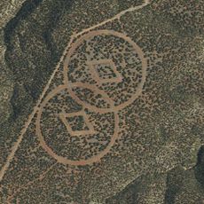
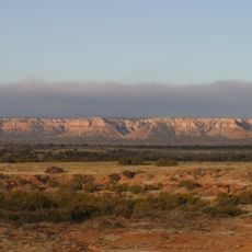
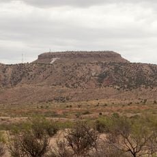
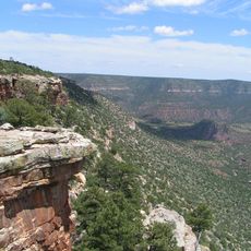
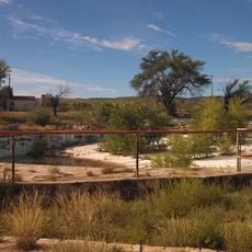
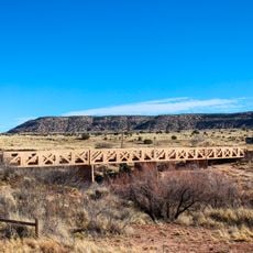
Quay County is an administrative division in eastern New Mexico featuring open grasslands and rolling terrain across its expanses. The landscape consists primarily of rangeland suitable for livestock operations and agricultural activities.

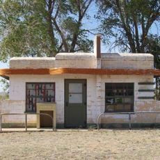
The county was established in 1903 during New Mexico's territorial period and named after a Pennsylvania politician. Its creation occurred during an era when ranching was becoming the dominant economic activity in the region.

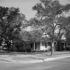
The county reflects its ranching heritage through landscapes shaped by cattle operations and local traditions that remain visible in daily life. Visitors can sense this rural character in how the land is used and how communities maintain connections to their past.

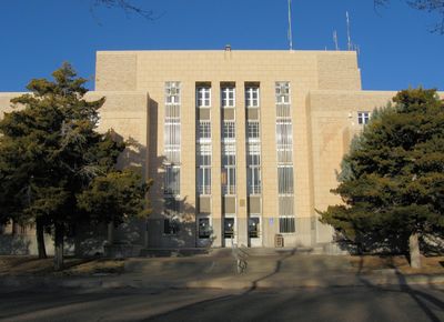
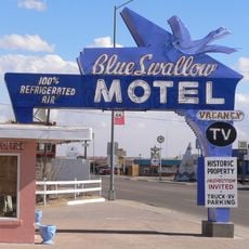
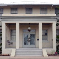
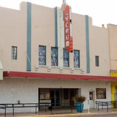
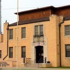
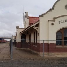
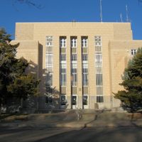
Tucumcari serves as the main hub and county seat, located along major highway routes that make navigation straightforward. The terrain allows easy travel across the county with good road access to most areas.

The area was home to large historic ranches such as Bell Ranch, some with roots extending back to the early 1800s and still operating today. These operations reveal how families built legacies in a harsh landscape over generations.

The community of curious travelers

AroundUs brings together thousands of curated places, local tips, and hidden gems, enriched daily by 60,000 contributors worldwide.

Start exploring
Location
Inception
January 28, 1887
Capital city
Tucumcari
Shares border with
Hartley County, Union County, Harding County, San Miguel County, Guadalupe County, De Baca County, Roosevelt County, Curry County, Deaf Smith County, Oldham County
GPS coordinates
35.11000,-103.55000
Latest update
December 7, 2025 20:25
Around this place
Trementina Base
United States of America

Trementina Base

103.7 km
Caprock Escarpment
United States of America

Caprock Escarpment

52.3 km
Glenrio
United States of America

Glenrio

46.9 km
Blue Swallow Motel
United States of America

Blue Swallow Motel

16.6 km
Tucumcari Mountain
United States of America

Tucumcari Mountain

13.8 km
Conchas Lake
United States of America

Conchas Lake

68.8 km
Sabinoso Wilderness
United States of America

Sabinoso Wilderness

102.7 km
Hotel Clovis
United States of America

Hotel Clovis

85.1 km
Conchas Dam
United States of America

Conchas Dam

66.8 km
Cactus Motor Lodge
United States of America

Cactus Motor Lodge

16.2 km
State Theater
United States of America

State Theater

84.8 km
First Methodist Church of Clovis
United States of America

First Methodist Church of Clovis

82.7 km
Richardson Store
United States of America

Richardson Store

46.9 km
Amistad Gymnasium
United States of America

Amistad Gymnasium

96.9 km
Metropolitan Park Bathhouse and Pool Historic District
United States of America

Metropolitan Park Bathhouse and Pool Historic District

23.2 km
Odeon Theatre
United States of America

Odeon Theatre

17.9 km
Clovis Baptist Hospital
United States of America

Clovis Baptist Hospital

85.1 km
Nara Visa School
United States of America

Nara Visa School

69.5 km
Baca-Goodman House
United States of America

Baca-Goodman House

17.8 km
Lyceum Theatre
United States of America

Lyceum Theatre

84.8 km
1908 Clovis City Hall and Fire Station
United States of America

1908 Clovis City Hall and Fire Station

85.1 km
Curry County Courthouse
United States of America

Curry County Courthouse

84.5 km
Arch Hurley Conservancy District Office Building
United States of America

Arch Hurley Conservancy District Office Building

17.6 km
Clovis Central Fire Station
United States of America

Clovis Central Fire Station

84.9 km
Fort Sumner Cemetery Wall and Entry
United States of America

Fort Sumner Cemetery Wall and Entry

93.8 km
Tucumcari Railroad Museum
United States of America

Tucumcari Railroad Museum

17.9 km
Princess Theatre
United States of America

Princess Theatre

17.1 km
Variadero Bridge
United States of America

Variadero Bridge

88.4 km
Show the full map
Administrative divisions
« Quay County - County in eastern New Mexico, United States » is provided by Around Us (aroundus.com). Images and texts are derived from Wikimedia project under a Creative Commons license. You are allowed to copy, distribute, and modify copies of this page, under the conditions set by the license, as long as this note is clearly visible.

Discover hidden gems everywhere you go!

From secret cafés to breathtaking viewpoints, skip the crowded tourist spots and find places that match your style. Our app makes it easy with voice search, smart filtering, route optimization, and insider tips from travelers worldwide. Download now for the complete mobile experience.

Around Us App Screenshot

A unique approach to discovering new places

Le Figaro

All the places worth exploring

France Info

A tailor-made excursion in just a few clicks

20 Minutes

Around Us
Travel Guide & Maps
Download

Send to your phone

QR Code
1

Open the camera app on your mobile.

2

Point at the QR code with your camera. A notification will appear.

3

Tap the notification to open the link.