Chest opened
+${chestReward.xp} XP
Explorer
NOUVEAU ×${chestReward.collectible.quantity}
tapez pour fermer
Chest locked

Open chests in the app

Around Us is built for your phone — chests unlock when you walk, explore and capture nearby places.

Enable Location

We need your location to show you interesting places around you

Discover nearby places

Find interesting locations and hidden gems around you

Precise directions

Get accurate directions and distances to places

Your location is never shared with other users. It's only used when you tap the location button.

Rifle

Log in to your account

Start exploring — it's free

Trusted by 72,878 travelers worldwide

Continue with Google
Continue with Apple
or

We will send you a code to connect

By continuing, you accept our Terms and Conditions and our Privacy Policy

Check your inbox

We've sent a pincode in your inbox. Please enter the code below.

Discussion Reviews 2 Photos
66.6k Popularity

Rifle, Regional center in Garfield County, United States.

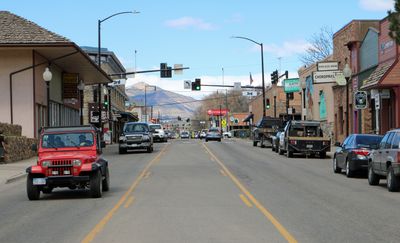
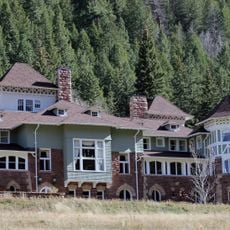
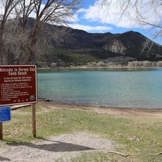
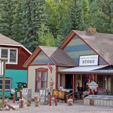
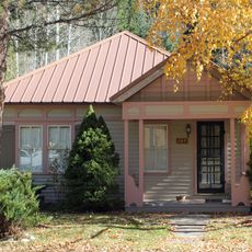
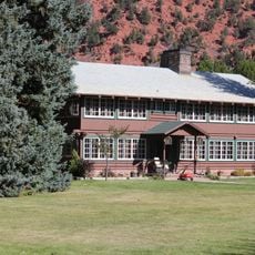
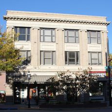
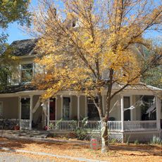
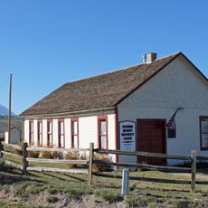
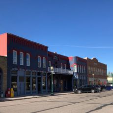
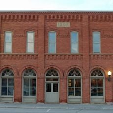
Rifle is a town in Garfield County, Colorado, located at the base of the White River Plateau near the Colorado River. The main street runs parallel to the railroad tracks and is lined with low brick and wooden buildings.

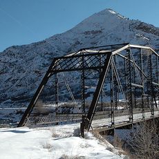
Abram Maxfield founded the settlement in 1882 along Rifle Creek and named it after a rifle shape in a nearby rock formation. The arrival of the railroad in 1889 transformed the place into a shipping point for coal and livestock.

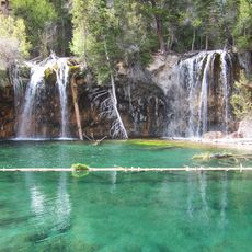
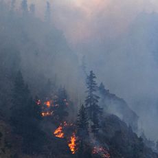
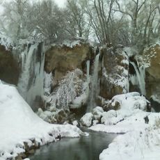
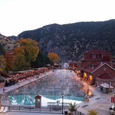
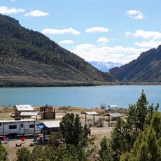
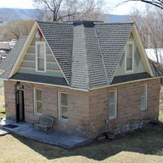
The community center and public squares reflect daily life in a mining town that has become home to outdoor athletes. Climbers and hikers from across the region come here to train in the surrounding canyons and buy gear.

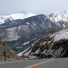
Interstate 70 runs directly through the town and offers fast connections east and west. Parking along Railroad Avenue makes it easy to reach shops and restaurants in the center.

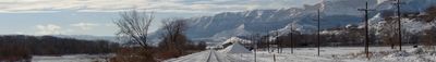
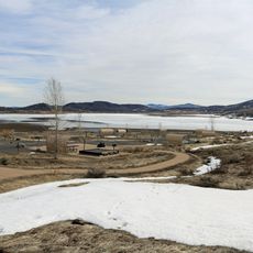
In early summer, wildflowers bloom across the nearby hills and cover the slopes with patches of yellow and purple. Local ranchers move their cattle to higher pastures during this season, and small herds often appear along the side roads.

The community of curious travelers

AroundUs brings together thousands of curated places, local tips, and hidden gems, enriched daily by 60,000 contributors worldwide.

Start exploring
Location
Inception
1882
Elevation above the sea
1,630 m
GPS coordinates
39.53690,-107.78300
Latest update
December 13, 2025 18:15
Around this place
Hanging Lake
United States of America

Hanging Lake

51.2 km
Glenwood Canyon
United States of America

Glenwood Canyon

48.3 km
Rifle Falls State Park
United States of America

Rifle Falls State Park

16.8 km
Glenwood Hot Springs Pool
United States of America

Glenwood Hot Springs Pool

39.5 km
Redstone Coke Oven Historic District
United States of America

Redstone Coke Oven Historic District

61.2 km
Redstone Castle
United States of America

Redstone Castle

62 km
Rifle Gap State Park
United States of America

Rifle Gap State Park

11.1 km
McClure Pass
United States of America

McClure Pass

62.5 km
Vega State Park
United States of America

Vega State Park

34.8 km
Harvey Gap State Park
United States of America

Harvey Gap State Park

13.9 km
Redstone Historic District
United States of America

Redstone Historic District

61.3 km
Storm King Mountain
United States of America

Storm King Mountain

33.3 km
South Canon Bridge
United States of America

South Canon Bridge

32.4 km
Osgood Gamekeeper's Lodge
United States of America

Osgood Gamekeeper's Lodge

61.7 km
St. James Episcopal Church
United States of America

St. James Episcopal Church

56.9 km
Rifle Bridge
United States of America

Rifle Bridge

1 km
IOOF Hall
United States of America

IOOF Hall

43.4 km
Osgood–Kuhnhausen House
United States of America

Osgood–Kuhnhausen House

61.2 km
Sumers Lodge
United States of America

Sumers Lodge

40.3 km
Citizens National Bank Building
United States of America

Citizens National Bank Building

39.4 km
Starr Manor
United States of America

Starr Manor

39.7 km
Missouri Heights School
United States of America

Missouri Heights School

56.7 km
Wasson-McKay Place
United States of America

Wasson-McKay Place

25.1 km
Hay's Ranch Bridge
United States of America

Hay's Ranch Bridge

59.3 km
Meeker Historic District
United States of America

Meeker Historic District

56.8 km
Meeker I.O.O.F. Lodge—Valentine Lodge No. 47
United States of America

Meeker I.O.O.F. Lodge—Valentine Lodge No. 47

56.8 km
Mount Sopris
United States of America

Mount Sopris

61.4 km
Satank Bridge
United States of America

Satank Bridge

49.3 km
Show the full map
Reviews
Share your experience

No review yet

Discussions
Start a discussion...

No discussion yet

« Rifle - Regional center in Garfield County, United States » is provided by Around Us (aroundus.com). Images and texts are derived from Wikimedia project under a Creative Commons license. You are allowed to copy, distribute, and modify copies of this page, under the conditions set by the license, as long as this note is clearly visible.

Discover hidden gems everywhere you go!

From secret cafés to breathtaking viewpoints, skip the crowded tourist spots and find places that match your style. Our app makes it easy with voice search, smart filtering, route optimization, and insider tips from travelers worldwide. Download now for the complete mobile experience.

Around Us App Screenshot

A unique approach to discovering new places

Le Figaro

All the places worth exploring

France Info

A tailor-made excursion in just a few clicks

20 Minutes

Around Us
Travel Guide & Maps
Download

Send to your phone

QR Code
1

Open the camera app on your mobile.

2

Point at the QR code with your camera. A notification will appear.

3

Tap the notification to open the link.