
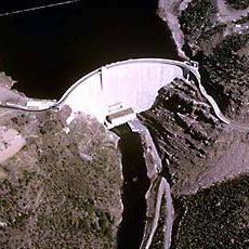
Jim Bridger Project Evaporation Pond, Stausee in den Vereinigten Staaten
Location: Sweetwater County
GPS coordinates: 41.76000,-108.79667
Latest update: March 14, 2025 04:23
Flaming Gorge Reservoir
91.7 km
Great Divide Basin
51.7 km
Seedskadee National Wildlife Refuge
87 km
Sweetwater Brewery
61.5 km
Miner's Delight
86.6 km
Boars Tusk
40.2 km
Expedition Island
62 km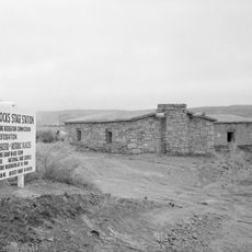
Point of Rocks Stage Station State Historic Site
9.5 km
Wilkins Peak
54.4 km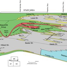
Almond Formation
39.6 km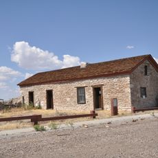
Granger Stage Station State Historic Site
99.3 km
Atlantic Peak
96.8 km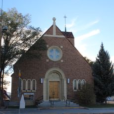
Our Lady of Sorrows Catholic Church
40.5 km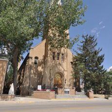
Saints Cyril and Methodius Catholic Church and Rectory
39.9 km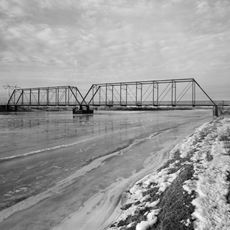
ETR Big Island Bridge
77.9 km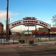
Downtown Rock Springs Historic District
40.1 km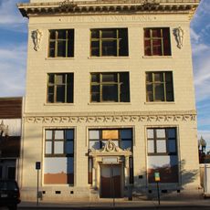
First National Bank Building
39.9 km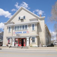
Slovenski Dom
40 km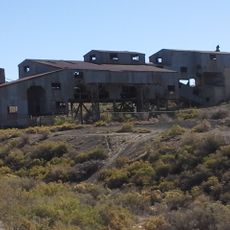
Reliance Tipple
34.7 km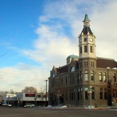
City Hall
40.3 km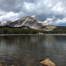
Silas Canyon
98.3 km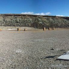
Scott's Bottom Nature Area
61 km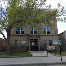
Masonic Temple
40.3 km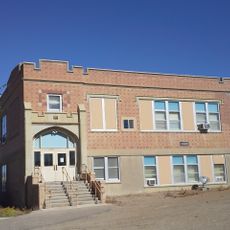
Reliance School and Gymnasium
34.7 km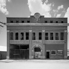
South Superior Union Hall
14.2 km
Gras House
39.9 km
Taliaferro House
40.4 km
Rock Springs Elks' Lodge No. 624
40.2 kmReviews
Visited this place? Tap the stars to rate it and share your experience / photos with the community! Try now! You can cancel it anytime.
Discover hidden gems everywhere you go!
From secret cafés to breathtaking viewpoints, skip the crowded tourist spots and find places that match your style. Our app makes it easy with voice search, smart filtering, route optimization, and insider tips from travelers worldwide. Download now for the complete mobile experience.

A unique approach to discovering new places❞
— Le Figaro
All the places worth exploring❞
— France Info
A tailor-made excursion in just a few clicks❞
— 20 Minutes