Northern Colorado, Geographic region in Colorado, United States.
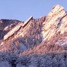
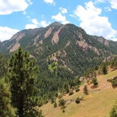
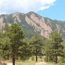
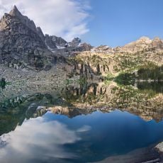
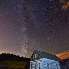
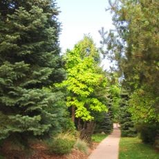
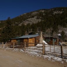
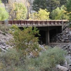
Northern Colorado stretches from the flat plains of the east to the snow-capped peaks of the Rocky Mountains, offering a diverse landscape with changing elevations. The terrain includes plateaus, mountain valleys, forests, and open ranches that together form a complex patchwork.
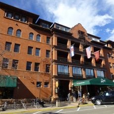
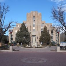
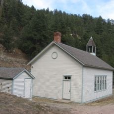
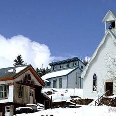
The region was formally defined in 1861 as part of the Colorado Territory through geographic boundaries that separated it from other areas. What followed was settlement driven by mining, railroads, and increasingly by agricultural development.
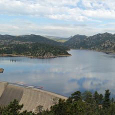
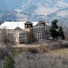
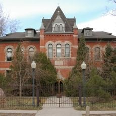
Ranching and farming have shaped the character of Northern Colorado for generations, defining how people use the land and relate to their surroundings. You can see this heritage in the way communities are built and in the continued reliance on natural resources for their livelihoods.
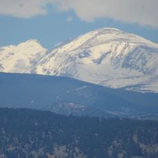
The range of elevations means weather and conditions change significantly depending on whether you are in the mountains or on the plains. It works best to explore gradually, spending time in different zones and preparing for shifting conditions.
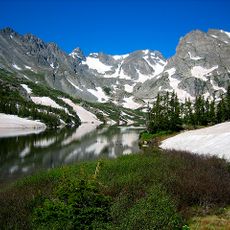
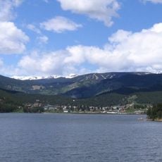
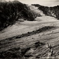
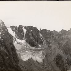
The Continental Divide runs through this region and acts as a hidden water highway, determining which direction every stream and river flows across the landscape. On one side, water eventually reaches the Pacific Ocean, while on the other it flows toward the Atlantic.
The community of curious travelers
AroundUs brings together thousands of curated places, local tips, and hidden gems, enriched daily by 60,000 contributors worldwide.