
Deer Trail, human settlement in Arapahoe County, Colorado, United States of America
Location: Arapahoe County
Inception: 1875
Elevation above the sea: 1,582 m
Website: http://www.deertrailcolorado.org
Website: http://deertrailcolorado.org
GPS coordinates: 39.61580,-104.04300
Latest update: March 3, 2025 10:46
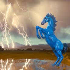
Blue Mustang
59.4 km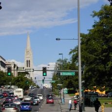
Colfax Avenue
27.7 km
Cherry Creek State Park
68.9 km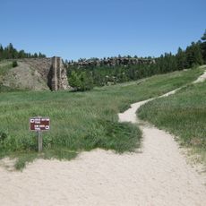
Castlewood Canyon State Park
68.6 km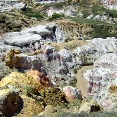
Calhan Paint Mines Archeological District
68.9 km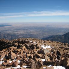
Colorado Piedmont
53.5 km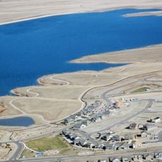
Aurora Reservoir
56.3 km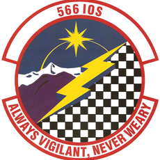
566th Intelligence Squadron
61.5 km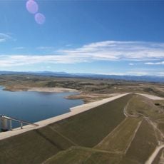
Rueter-Hess Reservoir
68.6 km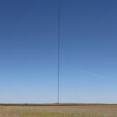
Hoyt Radio Tower
34.7 km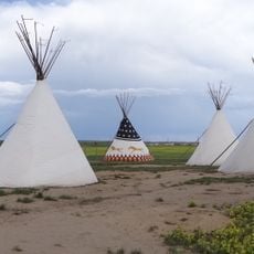
Plains Conservation Center
59.7 km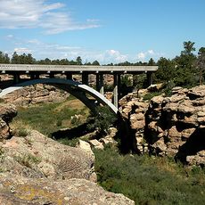
Cherry Creek Bridge
67.5 km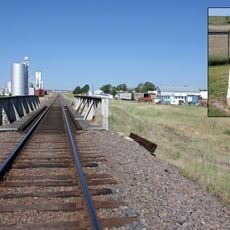
Comanche Crossing of the Kansas Pacific Railroad
26.4 km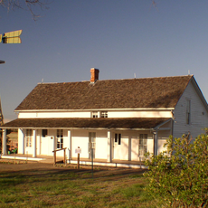
Seventeen Mile House
64.1 km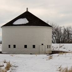
DeLaney Barn
66.5 km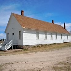
Pike's Peak Grange No. 163
65.9 km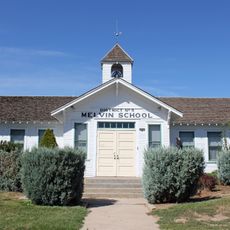
Melvin School
65.1 km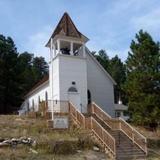
St. Mark United Presbyterian Church
61.2 km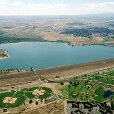
Cherry Creek Lake
69.7 km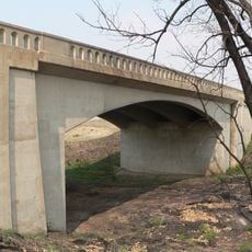
West Plum Bush Creek Bridge
39.5 km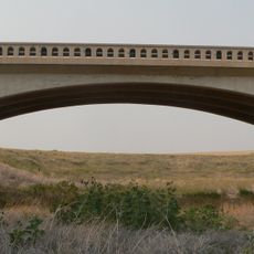
Plum Bush Creek Bridge
44.8 km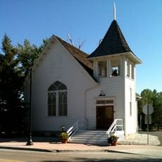
Ruth Memorial Methodist Episcopal Church
62.4 km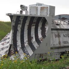
Rock Island Snow Plow No. 95580
50 km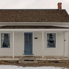
Gully Homestead
66.5 km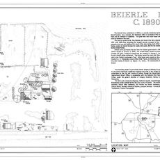
Beierle Farm
56.7 km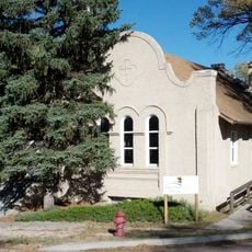
First Presbyterian Church of Ramah
56.2 km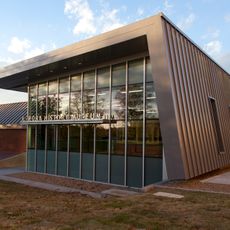
Aurora History Museum
66.9 km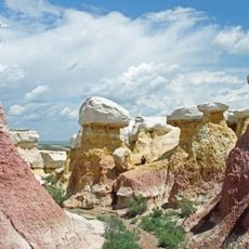
Paint Mines Interpretive Park
69.2 kmReviews
Visited this place? Tap the stars to rate it and share your experience / photos with the community! Try now! You can cancel it anytime.
Discover hidden gems everywhere you go!
From secret cafés to breathtaking viewpoints, skip the crowded tourist spots and find places that match your style. Our app makes it easy with voice search, smart filtering, route optimization, and insider tips from travelers worldwide. Download now for the complete mobile experience.

A unique approach to discovering new places❞
— Le Figaro
All the places worth exploring❞
— France Info
A tailor-made excursion in just a few clicks❞
— 20 Minutes