
Bald Peak Group Detention Dam, Höhle in den Vereinigten Staaten
Location: Scotts Bluff County
GPS coordinates: 41.89667,-103.92556
Latest update: March 3, 2025 04:07
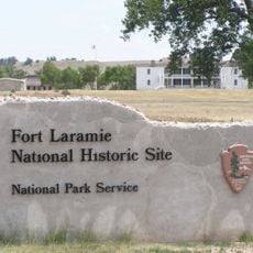
Fort Laramie
61.3 km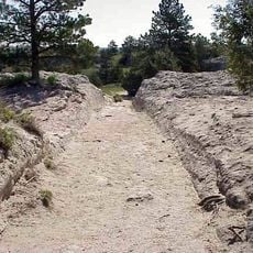
Oregon Trail Ruts
79 km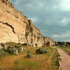
Register Cliff
75.7 km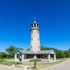
Lake Minatare Lighthouse
35.4 km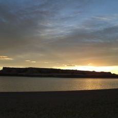
Hawk Springs State Recreation Area
30.3 km
Fort Mitchell, Nebraska
17.3 km
Signal Butte
11.2 km
Bighorn Mountain
51.4 km
Camp Clarke Bridge Site
67.7 km
Swan Land and Cattle Company Headquarters
75.8 km
Jay Em Historic District
72.7 km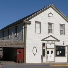
Fraternal Hall
76.6 km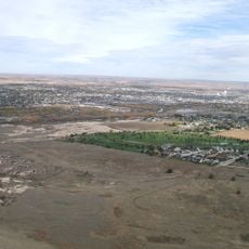
Northfield Park Arboretum
22.3 km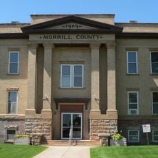
Morrill County Courthouse
73.2 km
C.C. Hampton Homestead
25.7 km
Albin
46.5 km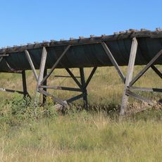
Maginnis Irrigation Aqueduct
75.3 km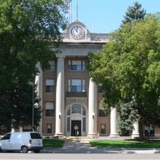
Scotts Bluff County Courthouse
23.3 km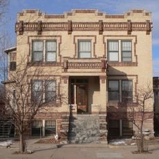
Fontenelle Apartment House
22.6 km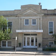
Scottsbluff Carnegie Library
22.3 km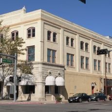
Marquis Opera House
22.2 km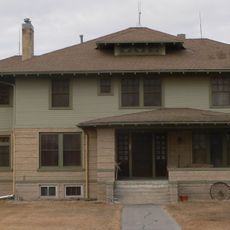
M.B. Quivey House
10.6 km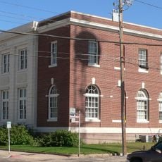
US Post Office-Scottsbluff
22.4 km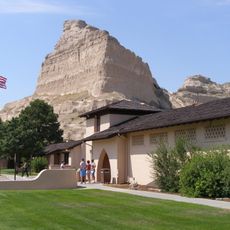
Scotts Bluff National Monument Visitor Center
19.6 km
Midwest Theater
22.1 km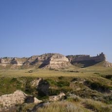
Scotts Bluff
20 km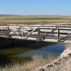
Interstate Canal Bridge
26.2 km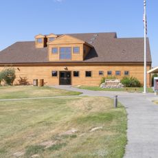
Agate Fossil Beds Visitor Center
60.9 kmReviews
Visited this place? Tap the stars to rate it and share your experience / photos with the community! Try now! You can cancel it anytime.
Discover hidden gems everywhere you go!
From secret cafés to breathtaking viewpoints, skip the crowded tourist spots and find places that match your style. Our app makes it easy with voice search, smart filtering, route optimization, and insider tips from travelers worldwide. Download now for the complete mobile experience.

A unique approach to discovering new places❞
— Le Figaro
All the places worth exploring❞
— France Info
A tailor-made excursion in just a few clicks❞
— 20 Minutes