Enable Location

We need your location to show you interesting places around you

Discover nearby places

Find interesting locations and hidden gems around you

Precise directions

Get accurate directions and distances to places

Your location is never shared with other users. It's only used when you tap the location button.

Boise County

Log in to your account

Start exploring — it's free

Trusted by 63,370 travelers worldwide

Continue with Google
Continue with Apple
or

We will send you a code to connect

By continuing, you accept our Terms and Conditions and our Privacy Policy

Check your inbox

We've sent a pincode in your inbox. Please enter the code below.

Discussion Reviews 1 Photos
16.9k Popularity

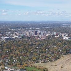
Boise County, Mountain administrative division in Idaho, United States.

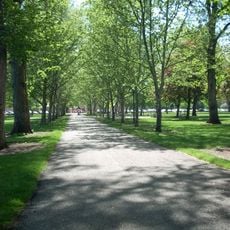
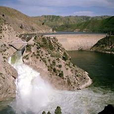
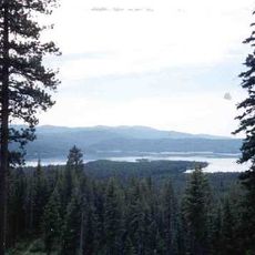
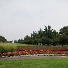
Boise County is a mountain administrative division in central Idaho, encompassing forested ridges, river valleys, and streams throughout its landscape. Multiple small towns are scattered across the region, nestled between the peaks and draws where roads follow the natural contours of the terrain.

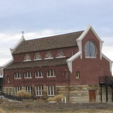
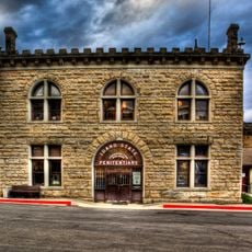
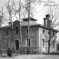
The county was established in 1864 during the gold rush, when discoveries in the Boise Basin brought thousands of miners to the mountain region. That mining boom shaped the settlement patterns and communities that still exist across the area today.

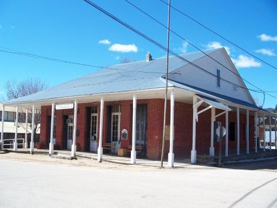
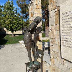
The mountain communities here maintain strong ties to their mining heritage, which shapes how residents gather and celebrate together throughout the year. These local traditions reflect the region's identity as a place where people have long found connection to the land and each other.

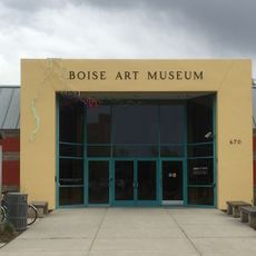
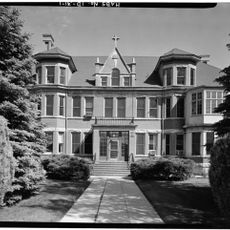
Visitors can find county services and information at local offices in the main towns throughout the region. The mountainous terrain means preparing for changing weather and roads that vary in condition depending on season and location.

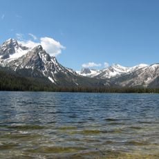
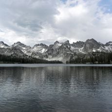
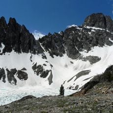
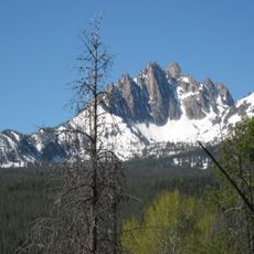
Thompson Peak rises as the highest point in the county, offering expansive views of the surrounding Sawtooth wilderness from its 10,751 feet elevation. Its accessibility to hikers and climbers makes it a notable geographic landmark that draws visitors to explore the backcountry.

The community of curious travelers

AroundUs brings together thousands of curated places, local tips, and hidden gems, enriched daily by 60,000 contributors worldwide.

Start exploring
GPS coordinates
43.98735,-115.73902
Latest update
December 7, 2025 19:26
Around this place
Albertsons Stadium
United States of America

Albertsons Stadium

56.4 km
Idaho State Capitol
United States of America

Idaho State Capitol

55.3 km
Old Idaho State Penitentiary
United States of America

Old Idaho State Penitentiary

54.7 km
Sawtooth National Recreation Area
United States of America

Sawtooth National Recreation Area

55 km
Sawtooth Wilderness
United States of America

Sawtooth Wilderness

53.9 km
The Egyptian Theatre
United States of America

The Egyptian Theatre

55.6 km
Julia Davis Park
United States of America

Julia Davis Park

56.3 km
Arrowrock Dam
United States of America

Arrowrock Dam

46 km
Zions Bank Idaho Headquarters
United States of America

Zions Bank Idaho Headquarters

55.7 km
Anne Frank Human Rights Memorial
United States of America

Anne Frank Human Rights Memorial

56.5 km
Thompson Peak
United States of America

Thompson Peak

60.8 km
Cathedral of St. John the Evangelist
United States of America

Cathedral of St. John the Evangelist

55 km
Boise Art Museum
United States of America

Boise Art Museum

56.4 km
Deadwood Reservoir
United States of America

Deadwood Reservoir

34.9 km
Ahavath Beth Israel
United States of America

Ahavath Beth Israel

58 km
Jack's Urban Meeting Place
United States of America

Jack's Urban Meeting Place

56.1 km
Idaho Botanical Garden
United States of America

Idaho Botanical Garden

54.8 km
Ann Morrison Park
United States of America

Ann Morrison Park

56.9 km
Old Idaho Penitentiary Site
United States of America

Old Idaho Penitentiary Site

54.7 km
Assay Office
United States of America

Assay Office

55.7 km
Camel's Back Park
United States of America

Camel's Back Park

54 km
St. Alphonsus Hospital
United States of America

St. Alphonsus Hospital

55.2 km
U.S. Bank Building
United States of America

U.S. Bank Building

55.7 km
Mount Heyburn
United States of America

Mount Heyburn

62.3 km
Kathryn Albertson Park
United States of America

Kathryn Albertson Park

57.1 km
Hoff Building
United States of America

Hoff Building

55.5 km
Discovery Center of Idaho
United States of America

Discovery Center of Idaho

56.1 km
MK Nature Center
United States of America

MK Nature Center

55.9 km
Show the full map
Reviews
Share your experience

No review yet

Discussions
Start a discussion...

No discussion yet

« Boise County - Mountain administrative division in Idaho, United States » is provided by Around Us (aroundus.com). Images and texts are derived from Wikimedia project under a Creative Commons license. You are allowed to copy, distribute, and modify copies of this page, under the conditions set by the license, as long as this note is clearly visible.

Discover hidden gems everywhere you go!

From secret cafés to breathtaking viewpoints, skip the crowded tourist spots and find places that match your style. Our app makes it easy with voice search, smart filtering, route optimization, and insider tips from travelers worldwide. Download now for the complete mobile experience.

Around Us App Screenshot

A unique approach to discovering new places

Le Figaro

All the places worth exploring

France Info

A tailor-made excursion in just a few clicks

20 Minutes

Around Us
Travel Guide & Maps
Download

Send to your phone

QR Code
1

Open the camera app on your mobile.

2

Point at the QR code with your camera. A notification will appear.

3

Tap the notification to open the link.