Chest opened
+${chestReward.xp} XP
Explorer
NOUVEAU ×${chestReward.collectible.quantity}
tapez pour fermer

See the monuments around you in AR Open chests in the app

Around Us is built for your phone — point your camera at the streets and discover the monuments and places around you in augmented reality. Around Us is built for your phone — chests unlock when you walk, explore and capture nearby places.

Enable Location

We need your location to show you interesting places around you

Discover nearby places

Find interesting locations and hidden gems around you

Precise directions

Get accurate directions and distances to places

Your location is never shared with other users. It's only used when you tap the location button.

Boardman Peak

Log in to your account

Start exploring — it's free

Trusted by 84,990 travelers worldwide

Continue with Google
Continue with Apple
or

We will send you a code to connect

By continuing, you accept our Terms and Conditions and our Privacy Policy

Check your inbox

We've sent a pincode in your inbox. Please enter the code below.

Boardman Peak
Discussion Reviews 1 Photos
800+ Popularity

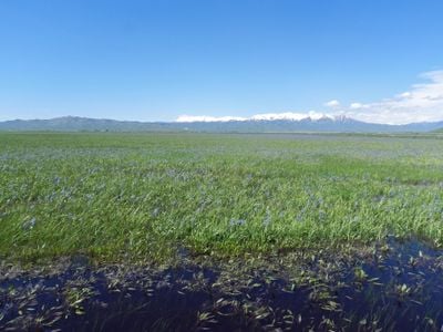
Boardman Peak, Mountain summit in Soldier Mountains, Idaho, US

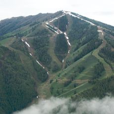
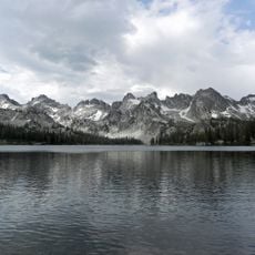
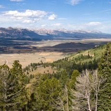
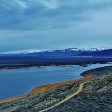
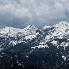
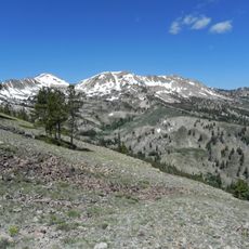
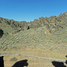
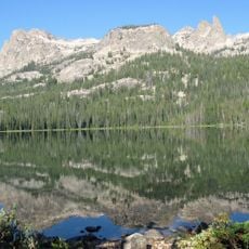
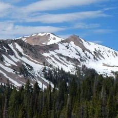
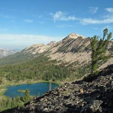
Boardman Peak is a mountain summit in the Soldier Mountains with an elevation around 9,475 feet, located within Sawtooth National Forest. The peak displays rocky outcrops and retains snow on its northern slopes through much of the year.

The peak was named during early exploration of Idaho's Soldier Mountains and served as a reference point for local geographical mapping. The name reflects the period when surveyors were documenting the region's terrain.

Local mountaineering groups maintain detailed records of climbing attempts on Boardman Peak, contributing to Idaho's mountain climbing documentation.

Access to the summit follows Chimney Creek Road, with hiking trails starting from the Ear Creek Corrals registration point. Visitors should be prepared for rocky terrain and weather conditions typical of high-elevation areas.

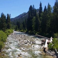
The northern slopes drain into Boardman Creek while the southern face channels water through Salt Log and Bremner Creeks. This watershed division creates distinct drainage patterns on each side of the mountain.

The community of curious travelers

AroundUs brings together thousands of curated places, local tips, and hidden gems, enriched daily by 60,000 contributors worldwide.
Start exploring
Location
GPS coordinates
43.51335,-114.99529
Latest update
August 30, 2026 18:43
Around this place
Bald Mountain
United States of America

Bald Mountain

31 mi
Sawtooth Wilderness
United States of America

Sawtooth Wilderness

33.8 mi
Central Idaho Dark Sky Reserve
United States of America

Central Idaho Dark Sky Reserve

34.6 mi
United States of America

Magic Reservoir

34.9 mi
Homer Pound House
United States of America

Homer Pound House

34.3 mi
Iron Mountain
United States of America

Iron Mountain

3 mi
Sawtooth Botanical Garden
United States of America

Sawtooth Botanical Garden

33.3 mi
Smoky Dome
United States of America

Smoky Dome

3.3 mi
El Capitan
United States of America

El Capitan

29.7 mi
Gimlet Pegram Truss Railroad Bridge
United States of America

Gimlet Pegram Truss Railroad Bridge

33.1 mi
Snowyside Peak
United States of America

Snowyside Peak

29.4 mi
Little City of Rocks Wilderness Study Area
United States of America

Little City of Rocks Wilderness Study Area

29.8 mi
Robert E. Lee Campground
United States of America

Robert E. Lee Campground

34.9 mi
Cold Springs Pegram Truss Railroad Bridge
United States of America

Cold Springs Pegram Truss Railroad Bridge

33.8 mi
Big Peak
United States of America

Big Peak

17.2 mi
Parks Peak
United States of America

Parks Peak

31.5 mi
Sevy Peak
United States of America

Sevy Peak

35.4 mi
Hailey Masonic Lodge
United States of America

Hailey Masonic Lodge

34.3 mi
Baker Peak
United States of America

Baker Peak

19.2 mi
McDonald Peak
United States of America

McDonald Peak

30.3 mi
Payette Peak
United States of America

Payette Peak

33.1 mi
South Boise Historic Mining District
United States of America

South Boise Historic Mining District

18.3 mi
Atlanta Ranger Station Historic District
United States of America

Atlanta Ranger Station Historic District

21.3 mi
Eben S. and Elizabeth S. Chase House
United States of America

Eben S. and Elizabeth S. Chase House

34.2 mi
Fox–Worswick House
United States of America

Fox–Worswick House

34.3 mi
Blaine County Courthouse
United States of America

Blaine County Courthouse

34.3 mi
Roundhouse Gondola
United States of America

Roundhouse Gondola

32.6 mi
Bigwood Golf Course
United States of America

Bigwood Golf Course

33.9 mi
Show the full map
Reviews
Share your experience

No review yet

Discussions
Start a discussion...

No discussion yet

« Boardman Peak - Mountain summit in Soldier Mountains, Idaho, US » is provided by Around Us (aroundus.com). Images and texts are derived from Wikimedia project under a Creative Commons license. You are allowed to copy, distribute, and modify copies of this page, under the conditions set by the license, as long as this note is clearly visible.

Discover hidden gems everywhere you go!

From secret cafés to breathtaking viewpoints, skip the crowded tourist spots and find places that match your style. Our app makes it easy with voice search, smart filtering, route optimization, and insider tips from travelers worldwide. Download now for the complete mobile experience.
Around Us App Screenshot

A unique approach to discovering new places

Le Figaro

All the places worth exploring

France Info

A tailor-made excursion in just a few clicks

20 Minutes

Around Us
Travel Guide & Maps
Download

Send to your phone

QR Code
1

Open the camera app on your mobile.

2

Point at the QR code with your camera. A notification will appear.

3

Tap the notification to open the link.