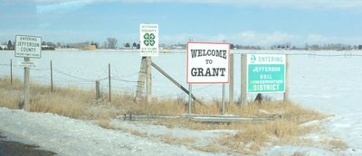
Jefferson County, Administrative county in southeastern Idaho, United States
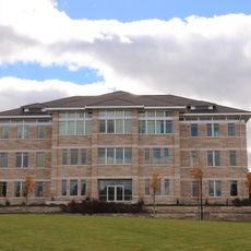
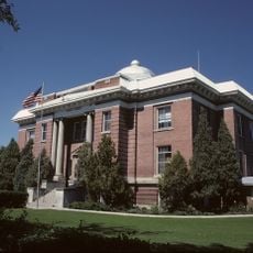
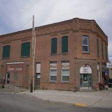
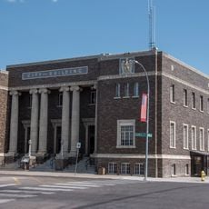
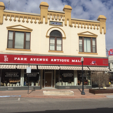
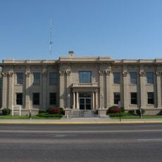
Jefferson County is an administrative county in southeastern Idaho, made up of mountain areas, river valleys, and farmland. Rigby is the county seat and serves as the main center for government offices and public services.
Jefferson County was established in 1913 and named after Thomas Jefferson, the third president of the United States. Its founding came at a time when railroad lines were drawing new settlers into this part of Idaho.
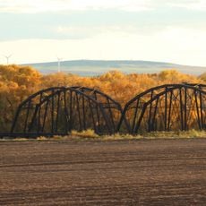
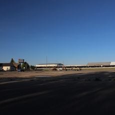
Jefferson County sits at the heart of a farming region where potato and grain fields stretch across the landscape and shape daily life for many residents. Driving through the area, visitors notice how the land use and the layout of small towns both follow the rhythm of the agricultural calendar.
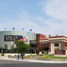
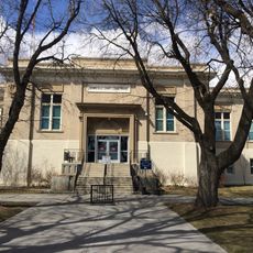
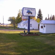
Towns in the county are spread far apart, so it is a good idea to stock up on fuel, food, and other basics before heading into more rural parts. Rigby is the best starting point for finding shops and everyday services.
Rigby is known as the hometown of Philo Farnsworth, the inventor who is said to have conceived the basic idea for electronic television as a teenager in the 1920s while working on local farmland. A statue in his honor stands in the United States Capitol in Washington, D.C.
The community of curious travelers
AroundUs brings together thousands of curated places, local tips, and hidden gems, enriched daily by 60,000 contributors worldwide.