Lolo National Forest, National forest and wildlife sanctuary in western Montana, United States
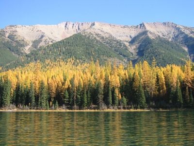
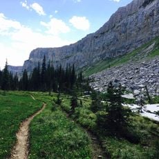
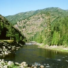
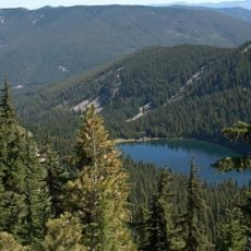
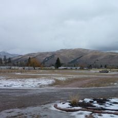
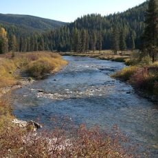
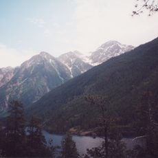
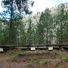
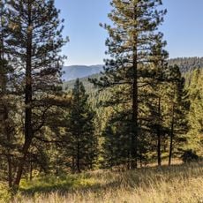
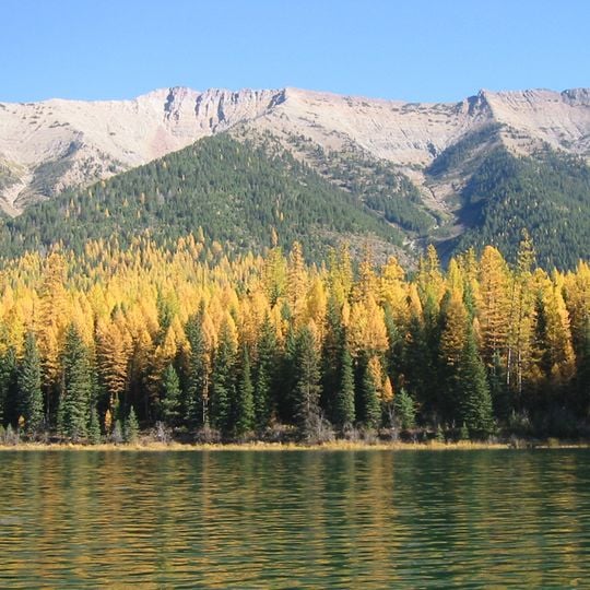
Lolo National Forest covers 2 million acres in western Montana, its western edge on the Idaho border. The land runs from valleys and river corridors up to Scapegoat Mountain, the forest's highest point at 9,186 feet. Four wilderness areas lie within it: Scapegoat and Selway-Bitterroot partly, Welcome Creek and Rattlesnake entirely. Photographs show a bare grey and tan ridge above dark conifers, with a band of yellow-gold trees in front.
Lolo National Forest was established in 1906 when four separate forest reserves were merged into one. This happened during a period when the federal government was actively setting aside public lands under President Theodore Roosevelt.
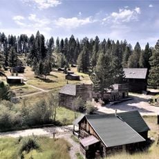
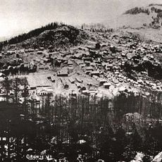
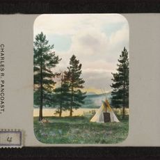
The Lolo National Historic Trail crosses the forest, a network of routes travelled by the Nez Perce and by the Lewis and Clark expedition. Near Frenchtown, the Ninemile Remount Depot is listed on the National Register of Historic Places, and the former USDA Forest Service nursery at Savenac, near Haugan, is a National Historic Site.
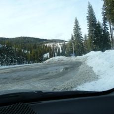
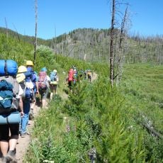
The forest has hundreds of miles of marked trails and several developed campgrounds spread across the area. Weather in the mountains can change quickly, so it is worth checking conditions before heading out, especially if you plan to go to higher ground.
Some of the largest western red cedars in Montana grow inside this forest, with trunks that can reach over 8 feet (about 2.4 meters) across. These trees are rare survivors of old forest pockets that have largely disappeared from this region.
The community of curious travelers
AroundUs brings together thousands of curated places, local tips, and hidden gems, enriched daily by 93,784 contributors worldwide.