Clark Fork, Watercourse through Montana and Idaho, United States
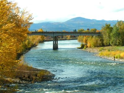
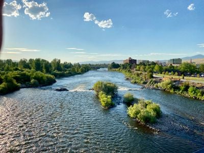
The Clark Fork is a river flowing through Montana and Idaho that cuts through mountainous terrain and diverse landscapes. The waterway travels from its headwaters near Butte through rocky valleys to Lake Pend Oreille, passing through multiple ecological zones along the way.
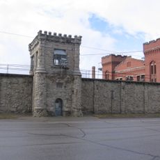
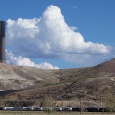
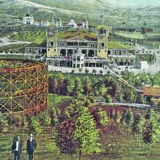
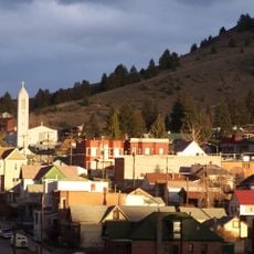
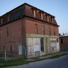
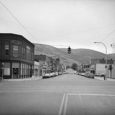
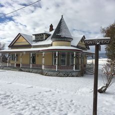
The river became central to transportation and trade after European contact, shaping settlement patterns throughout the region. Over time, the valley attracted mining operations and logging industries that defined economic activity for more than a century.
The river served as a vital route and food source for the Salish peoples who inhabited the region long before settlers arrived. Today, the landscape and accessible stretches along the banks reflect this deep connection to the land that shaped local communities for centuries.
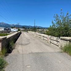
The river is easily accessible from multiple roads that provide entry points along various stretches of the waterway. Spring through fall offers the best conditions for visiting, when weather is mild and water levels are suitable for fishing, floating, or simply exploring the banks.
The river region played a role in one of North America's most dramatic geological events when a glacial lake catastrophically breached its dam thousands of years ago. The aftermath of this massive flood left visible marks across the landscape that geologists still study today to understand how the terrain was reshaped.
The community of curious travelers
AroundUs brings together thousands of curated places, local tips, and hidden gems, enriched daily by 60,000 contributors worldwide.