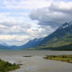
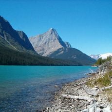
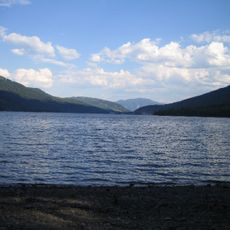
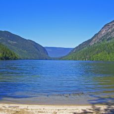
Lake Revelstoke, lake in British Columbia, Canada
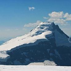
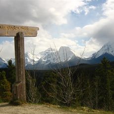
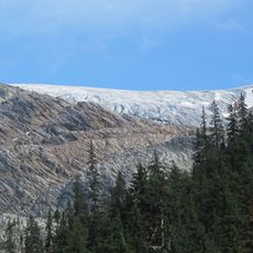
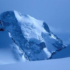
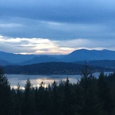
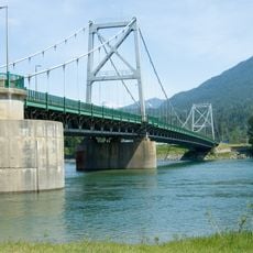
Lake Revelstoke is a large man-made reservoir north of the town of Revelstoke in British Columbia, created by two major dams that control water flow and generate electricity. The body of water stretches over 130 kilometers and is surrounded by mountain ranges, with the Selkirk peaks to the east and the Monashee Mountains to the west.
The reservoir was created by the Revelstoke Dam, which flooded a Columbia River canyon and submerged areas that were once used during the Big Bend Gold Rush. A second dam called Mica Dam to the north regulates water inflow, and together these structures manage the region's water supply and electricity generation.
The lake's creation through dam construction has become central to the region's identity and how people spend their time outdoors. Today it serves as a gathering place for recreation and demonstrates how communities adapt their landscape to meet practical needs.
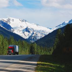
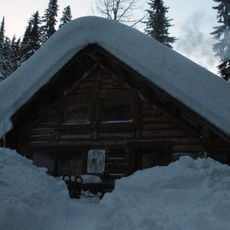
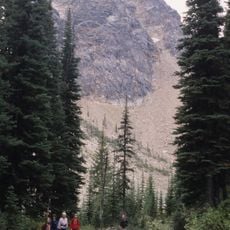
Highway 23N runs along the eastern shore and provides multiple viewpoints and access to fishing, boating, and kayaking at various launch sites along the route. The highway lacks gas stations and services, so visitors should fill up on fuel and bring supplies before heading out from town.
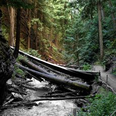
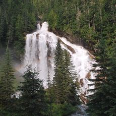
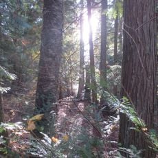
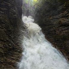
The western shoreline is unreachable by road, requiring visitors to explore by boat, kayak, or paddleboard to discover hidden beaches and waterfalls along this remote side. This inaccessible stretch offers a quiet adventure for those seeking water-based exploration away from marked routes.
The community of curious travelers
AroundUs brings together thousands of curated places, local tips, and hidden gems, enriched daily by 60,000 contributors worldwide.