
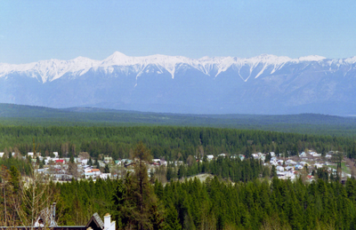
Kimberley, city in British Columbia, Canada
Location: Regional District of East Kootenay
Elevation above the sea: 1,120 m
Website: https://kimberley.ca
GPS coordinates: 49.66972,-115.97750
Latest update: April 2, 2025 10:26
Crowsnest Pass
92.7 km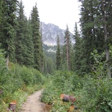
Kokanee Glacier Provincial Park
86.5 km
Jumbo Glacier
92.4 km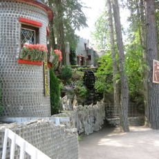
Glass House
62.6 km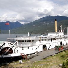
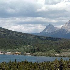
Moyie
71.7 km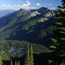
Island Lake Lodge
60.5 km
Porthill-Rykerts Border Crossing
83.6 km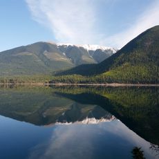
Whiteswan Lake Provincial Park
58.9 km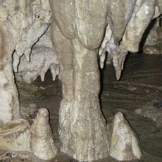
Cody Caves
70.5 km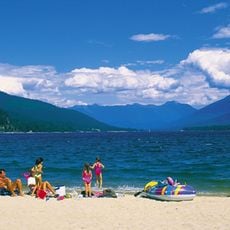
Kokanee Creek Provincial Park
83.7 km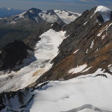
Mount Farnham
98.2 km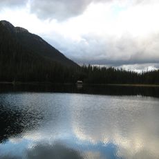
Top of the World Provincial Park
45.8 km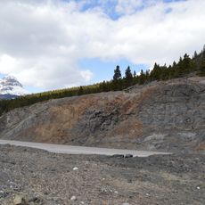
Crowsnest Formation
104.3 km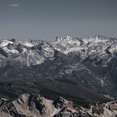
Purcell Wilderness Conservancy Park Corridor Protected Area
66.7 km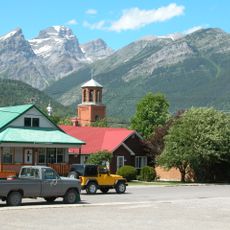
Fernie Formation
60.5 km
Mount Fernie Provincial Park
66.3 km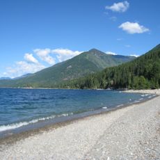
Lockhart Beach Provincial Park
61.1 km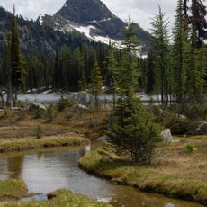
Kianuko Provincial Park
44.3 km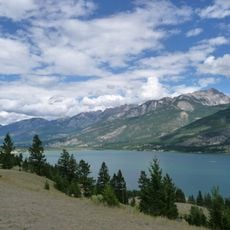
Columbia Lake Provincial Park
70.5 km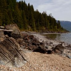
Pilot Bay Provincial Park
64 km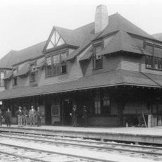
Nelson railway station
97.6 km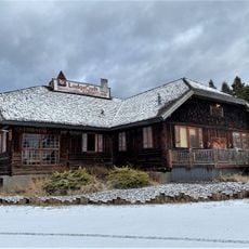
Eureka Community Hall
88.1 km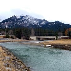
Fairmont Bridge
73.3 km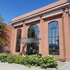
Canadian Museum of Rail Travel
23 km
Nelson Museum Archives & Gallery
97.1 km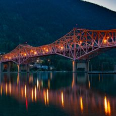
Nelson Bridge
95.8 km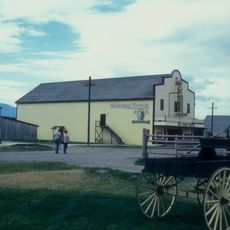
Wildhorse Theatre
25.5 km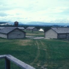
Fort Steele
25.5 kmReviews
Visited this place? Tap the stars to rate it and share your experience / photos with the community! Try now! You can cancel it anytime.
Discover hidden gems everywhere you go!
From secret cafés to breathtaking viewpoints, skip the crowded tourist spots and find places that match your style. Our app makes it easy with voice search, smart filtering, route optimization, and insider tips from travelers worldwide. Download now for the complete mobile experience.

A unique approach to discovering new places❞
— Le Figaro
All the places worth exploring❞
— France Info
A tailor-made excursion in just a few clicks❞
— 20 Minutes