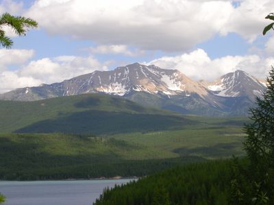
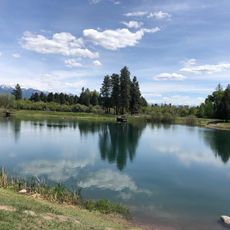
South Fork Flathead River, Mountain brook in Bob Marshall Wilderness Complex, Montana, United States
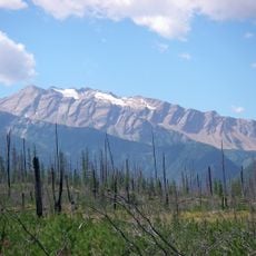
The South Fork Flathead River is a mountain stream that flows roughly 100 miles through Montana from the convergence of Danaher Creek and Youngs Creek. The water cuts through changing forest landscapes and rugged terrain, with its character shaped by whitewater rapids and quieter pools along its path.
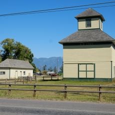
The waterway held importance for Native American tribes who settled along its banks and relied on it for their livelihoods. When European settlement arrived in the 1800s, usage patterns shifted, and the river later received protection as a National Wild and Scenic River in the 1970s.
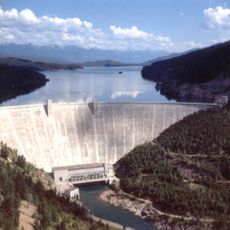
The designation as a National Wild and Scenic River in 1976 reflects the commitment to preserve natural waterways within the American conservation system.
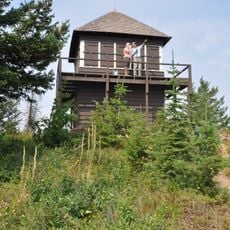
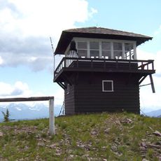
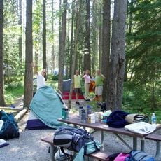
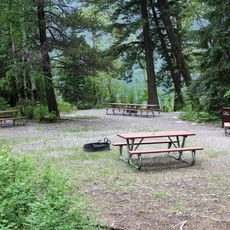
Visitors need wilderness permits and should prepare for multi-day journeys requiring either backpacking or horse travel through mountain trails. Summer months offer better access and more favorable conditions for outdoor travel compared to winter weather and snow.
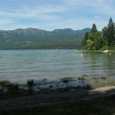
The river harbors an isolated population of pure-strain cutthroat trout protected by its remote location from mixing with other species. Strict fishing regulations on catch limits help maintain this distinction and draw anglers seeking a special experience.
The community of curious travelers
AroundUs brings together thousands of curated places, local tips, and hidden gems, enriched daily by 60,000 contributors worldwide.