
Improvement District No. 4, improvement district in Alberta, Canada
Location: Alberta
Inception: January 1, 1944
Elevation above the sea: 1,362 m
Shares border with: Municipal District of Pincher Creek No. 9, East Kootenay, Cardston County, Regional District of East Kootenay
Website: http://id4waterton.ca
GPS coordinates: 49.08694,-113.89583
Latest update: March 3, 2025 22:29
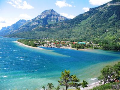
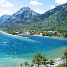
Waterton Lakes National Park
4.9 km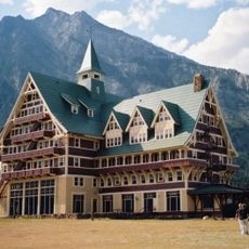
Prince of Wales Hotel
3.2 km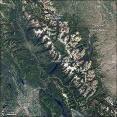
Waterton-Glacier International Peace Park
10.1 km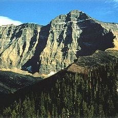
Mount Cleveland
18.4 km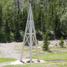
First Oil Well in Western Canada
6.9 km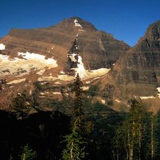
Kintla Peak
25.7 km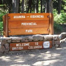
Akamina-Kishinena Provincial Park
23.2 km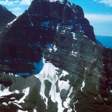
Kinnerly Peak
24.5 km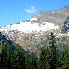
Agassiz Glacier
25.6 km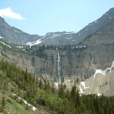
Crypt Falls
9.9 km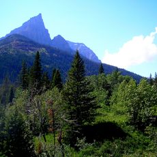
Mount Blakiston
10.2 km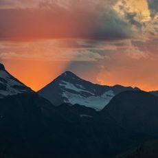
Rainbow Glacier
27 km
Boulder Glacier
20.1 km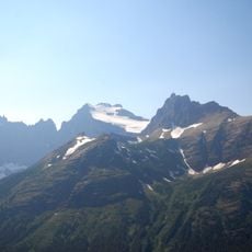
Old Sun Glacier
25.4 km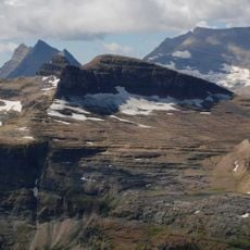
Boulder Peak
20.4 km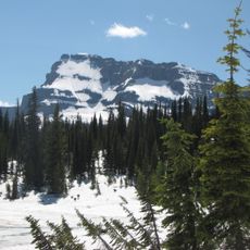
Mount Custer
16.8 km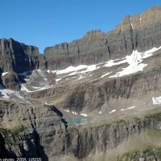
Shepard Glacier
24.8 km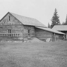
Belly River Ranger Station Historic District
21.9 km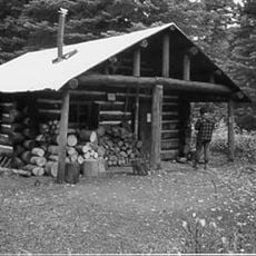
Pass Creek Snowshoe Cabin
21.3 km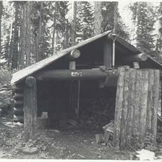
Kootenai Creek Snowshoe Cabin
24.6 km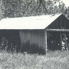
Lee Creek Snowshoe Cabin
22.8 km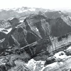
Mount Carter
25.4 km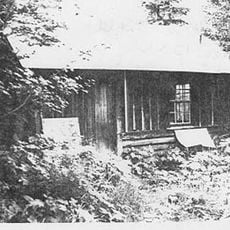
Goathaunt Bunkhouse
14 km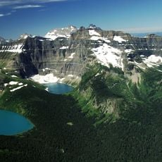
Herbst Glacier
15.9 km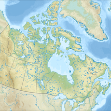
Mount Hawkins
13.2 km
Waterton Reservoir
28.2 km
Registration Building
4.9 km
Hole in the Wall Campground
18.4 kmReviews
Visited this place? Tap the stars to rate it and share your experience / photos with the community! Try now! You can cancel it anytime.
Discover hidden gems everywhere you go!
From secret cafés to breathtaking viewpoints, skip the crowded tourist spots and find places that match your style. Our app makes it easy with voice search, smart filtering, route optimization, and insider tips from travelers worldwide. Download now for the complete mobile experience.

A unique approach to discovering new places❞
— Le Figaro
All the places worth exploring❞
— France Info
A tailor-made excursion in just a few clicks❞
— 20 Minutes