Bonneville County

Log in to your account

AroundUs is a community-driven map of interesting places, built by curious explorers like you. It grows with every review, story, and photo you share.
Connect to save your favorite spots, contribute locations, and create personalized routes.
Continue with Google
Continue with Apple
Continue with X
Continue with Facebook
Continue with email
By continuing, you accept our Terms and Conditions and our Privacy Policy
Create an account
Add to collection
Map
Suggest a change
Share

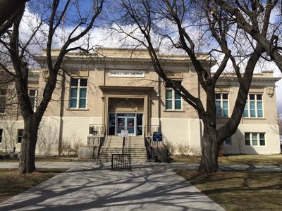
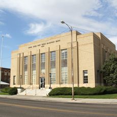
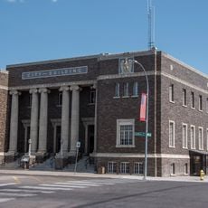
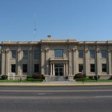
Bonneville County, County seat in southeastern Idaho, US

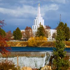
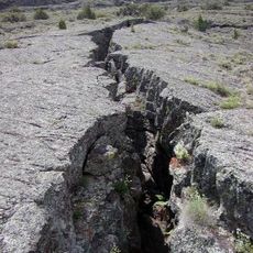
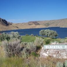
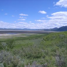
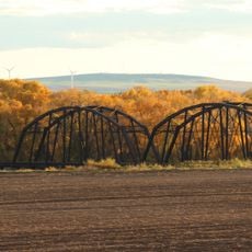
Bonneville County spans approximately 1,900 square miles (4,900 square kilometers) across southeastern Idaho and includes the Snake River along with numerous outdoor recreation areas. The landscape combines agricultural land with natural river valleys that draw visitors for outdoor activities.

The county was established in 1911 and named after Benjamin Bonneville, a French-born military officer who explored the American West during territorial expansion. The region transitioned from early mining settlements near Caribou Mountain into an agricultural center over time.

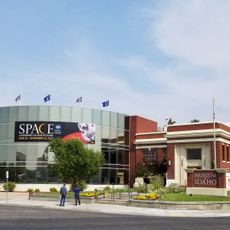
The Museum of Idaho in Idaho Falls presents regional history exhibitions and educational programs that showcase the heritage of southeastern Idaho communities.

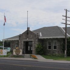
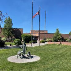
Public administration operates from Idaho Falls, which serves as the main hub for county services and information. Visitors can explore the area by car and easily access local information centers and services throughout the region.

Potato cultivation began in the region during the late 1880s and continues to shape the local economy and landscape today. This agricultural shift transformed the area into a significant farming region in the northwestern United States.

Location: Idaho

Inception: February 7, 1911

Capital city: Idaho Falls

Shares border with: Madison County, Caribou County, Lincoln County, Teton County, Teton County, Jefferson County, Bingham County

Website: https://bonnevillecountyidaho.gov

GPS coordinates: 43.38000,-111.60000

Latest update: December 7, 2025 19:25

Photos
Around this place
Idaho Falls Idaho Temple
United States of America

Idaho Falls Idaho Temple

38.1 km
Hell's Half Acre Lava Field
United States of America

Hell's Half Acre Lava Field

70 km
Idaho Potato Museum
United States of America

Idaho Potato Museum

63.9 km
Rexburg Idaho Temple
United States of America

Rexburg Idaho Temple

50.1 km
Chesterfield
United States of America

Chesterfield

62.5 km
Ririe Reservoir
United States of America

Ririe Reservoir

25.2 km
Grays Lake National Wildlife Refuge
United States of America

Grays Lake National Wildlife Refuge

38 km
Museum of Idaho
United States of America

Museum of Idaho

37.5 km
Mountain America Center
United States of America

Mountain America Center

39.3 km
Rexburg Stake Tabernacle
United States of America

Rexburg Stake Tabernacle

52 km
Colonial Theatre
United States of America

Colonial Theatre

37.8 km
Blackfoot LDS Tabernacle
United States of America

Blackfoot LDS Tabernacle

63.9 km
First Presbyterian Church
United States of America

First Presbyterian Church

37.2 km
Idaho Falls Public Library
United States of America

Idaho Falls Public Library

37.4 km
Ririe A Pegram Truss Railroad Bridge
United States of America

Ririe A Pegram Truss Railroad Bridge

33.8 km
Jacob Spori Building
United States of America

Jacob Spori Building

51.2 km
Bonneville County Courthouse
United States of America

Bonneville County Courthouse

37.8 km
United States Post Office–Blackfoot Main
United States of America

United States Post Office–Blackfoot Main

63.9 km
Idaho Falls City Building
United States of America

Idaho Falls City Building

37.6 km
Jefferson County Courthouse
United States of America

Jefferson County Courthouse

41.2 km
Ross Fork Episcopal Church
United States of America

Ross Fork Episcopal Church

63.9 km
Madison County Courthouse
United States of America

Madison County Courthouse

51.7 km
Blackfoot I.O.O.F. Hall
United States of America

Blackfoot I.O.O.F. Hall

64 km
Idaho Republican Building
United States of America

Idaho Republican Building

64 km
Shilling Avenue Historic District
United States of America

Shilling Avenue Historic District

63.9 km
Iona Meetinghouse
United States of America

Iona Meetinghouse

31.4 km
Pierre's Playhouse
United States of America

Pierre's Playhouse

46.6 km
Virginia Theatre
United States of America

Virginia Theatre

42.4 km
Show the full map
Reviews

Visited this place? Tap the stars to rate it and share your experience / photos with the community! Try now! You can cancel it anytime.

Administrative divisions
« Bonneville County - County seat in southeastern Idaho, US » is provided by Around Us (aroundus.com). Images and texts are derived from Wikimedia project under a Creative Commons license. You are allowed to copy, distribute, and modify copies of this page, under the conditions set by the license, as long as this note is clearly visible.

Discover hidden gems everywhere you go!

From secret cafés to breathtaking viewpoints, skip the crowded tourist spots and find places that match your style. Our app makes it easy with voice search, smart filtering, route optimization, and insider tips from travelers worldwide. Download now for the complete mobile experience.

Around Us App Screenshot

A unique approach to discovering new places

Le Figaro

All the places worth exploring

France Info

A tailor-made excursion in just a few clicks

20 Minutes