Bridger-Teton National Forest, National Forest in western Wyoming, United States
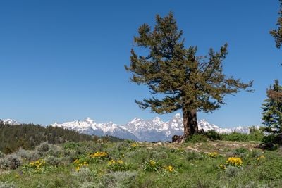
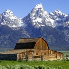
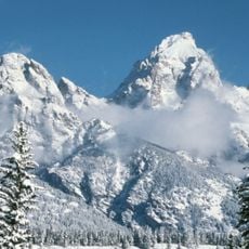
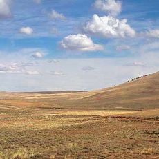
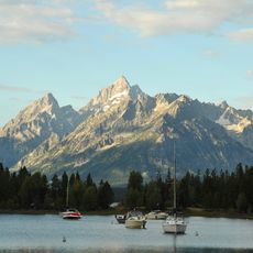
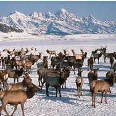
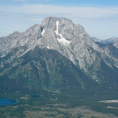
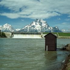
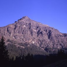
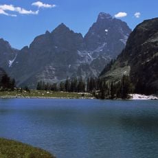
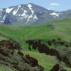
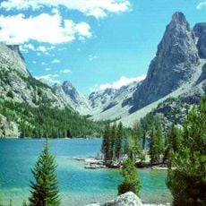
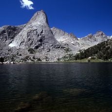
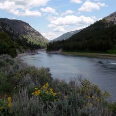
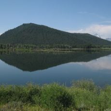
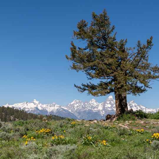
Bridger-Teton National Forest is a large protected wilderness in western Wyoming that encompasses multiple mountain ranges with varying elevations and terrain. The forest includes meadows, valleys, and peaks that create diverse habitats where elk, bears, and other wildlife thrive.
The forest was first protected by the federal government in 1908 and operated as separate reserves for many decades. Two distinct forests were merged together in 1973 to create the current unified forest system.
For centuries, Native American tribes such as the Shoshone and Crow used these forests as hunting and gathering grounds, with their heritage still reflected in local place names today.
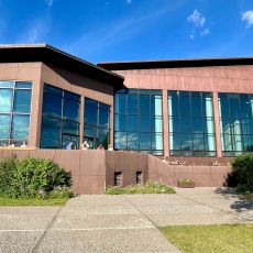
The forest is accessible from multiple entry points with visitor centers and ranger stations located in towns surrounding the forest. Plan for variable weather and always check current conditions before heading out, especially at higher elevations during winter months.
The Gros Ventre landslide is listed among the largest readily visible landslides on earth, and it lies inside the forest's Gros Ventre Wilderness, a 1.2-million-acre set of wilderness areas that also includes the Bridger and Teton Wildernesses. The forest holds Gannett Peak, at 13,804 feet the highest mountain in Wyoming.
The community of curious travelers
AroundUs brings together thousands of curated places, local tips, and hidden gems, enriched daily by 94,313 contributors worldwide.