Chest opened
+${chestReward.xp} XP
Explorer
NOUVEAU ×${chestReward.collectible.quantity}
tapez pour fermer
Chest locked

Open chests in the app

Around Us is built for your phone — chests unlock when you walk, explore and capture nearby places.

Enable Location

We need your location to show you interesting places around you

Discover nearby places

Find interesting locations and hidden gems around you

Precise directions

Get accurate directions and distances to places

Your location is never shared with other users. It's only used when you tap the location button.

Ashton

Log in to your account

Start exploring — it's free

Trusted by 72,895 travelers worldwide

Continue with Google
Continue with Apple
or

We will send you a code to connect

By continuing, you accept our Terms and Conditions and our Privacy Policy

Check your inbox

We've sent a pincode in your inbox. Please enter the code below.

Discussion Reviews 1 Photos
16.3k Popularity

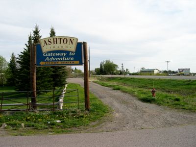
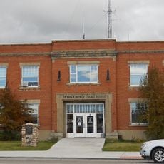
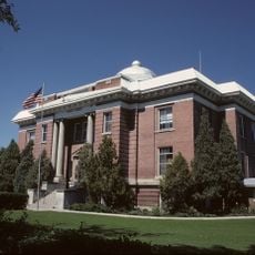
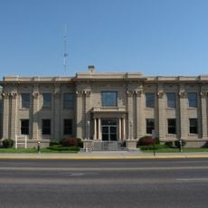
Ashton, city in Fremont County, Idaho, United States

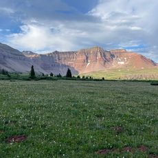
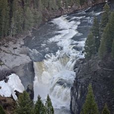
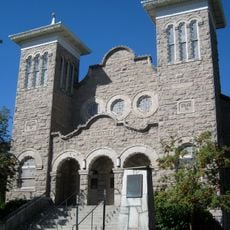
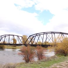
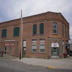
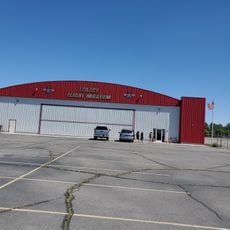
Ashton is a small city in Fremont County, Idaho, located near the southern edge of the Yellowstone Caldera. The town centers on a main street with local shops and community offices, surrounded by mountains, rivers, and fields known for potato cultivation.

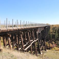
In the early 1900s, a railroad company built a train line into the area, making it easier to move people and goods while turning Ashton into a winter logistics hub. The town's founding was closely tied to agriculture, particularly potato cultivation, which quickly became a major economic driver.

The name Ashton reflects the town's English settler roots. Local life centers on traditions passed down through generations, including the dog sled racing culture and farming heritage that define community identity.

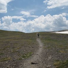
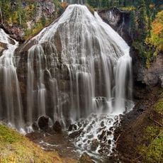
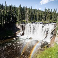
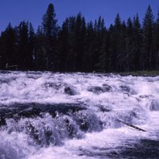
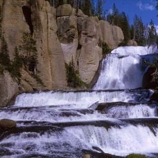
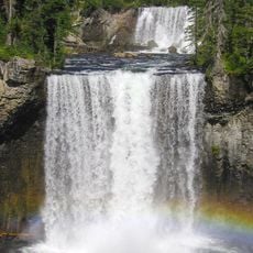
The city sits at the junction of two scenic routes, Mesa Falls Scenic Byway and Teton Scenic Byway, with easy access to nearby Yellowstone and Grand Teton National Parks. Visitors should note that winters are long and snowy, so proper clothing and preparation for changing conditions is important.

The city is known as home to the American Dog Derby, a dog sled racing event that started over 100 years ago and still draws racers and spectators from around the world. This event is so central to local identity that sled dog culture remains a living part of the area's winter tradition.

The community of curious travelers

AroundUs brings together thousands of curated places, local tips, and hidden gems, enriched daily by 60,000 contributors worldwide.

Start exploring
Location
Elevation above the sea
1,603 m
GPS coordinates
44.07220,-111.44800
Latest update
February 17, 2026 02:20
Around this place
Huckleberry Ridge Tuff
United States of America

Huckleberry Ridge Tuff

30.2 km
Island Park Caldera
United States of America

Island Park Caldera

30.2 km
Pierre's Hole
United States of America

Pierre's Hole

48.6 km
Henry's Fork Caldera
United States of America

Henry's Fork Caldera

30.2 km
Mesa Falls Tuff
United States of America

Mesa Falls Tuff

30.2 km
Rexburg Idaho Temple
United States of America

Rexburg Idaho Temple

39.4 km
Upper Mesa Falls
United States of America

Upper Mesa Falls

16 km
Jedediah Smith Wilderness
United States of America

Jedediah Smith Wilderness

45.1 km
Lower Mesa Falls
United States of America

Lower Mesa Falls

14.8 km
Union Falls
United States of America

Union Falls

48 km
Rexburg Stake Tabernacle
United States of America

Rexburg Stake Tabernacle

38.3 km
South Fremont High School
United States of America

South Fremont High School

21.8 km
Iris Falls
United States of America

Iris Falls

44.5 km
Bechler Falls
United States of America

Bechler Falls

35.9 km
Terraced Falls
United States of America

Terraced Falls

47.3 km
Bishop Mountain Lookout
United States of America

Bishop Mountain Lookout

30.3 km
Colonnade Falls
United States of America

Colonnade Falls

44 km
Teton County Courthouse
United States of America

Teton County Courthouse

47.2 km
St. Anthony Pegram Truss Railroad Bridge
United States of America

St. Anthony Pegram Truss Railroad Bridge

25.4 km
Conant Creek Pegram Truss Railroad Bridge
United States of America

Conant Creek Pegram Truss Railroad Bridge

9.3 km
Jacob Spori Building
United States of America

Jacob Spori Building

38.6 km
Fremont County Courthouse
United States of America

Fremont County Courthouse

22.2 km
Rexburg Rapids
United States of America

Rexburg Rapids

38.1 km
Independent Order of Odd Fellows Hall
United States of America

Independent Order of Odd Fellows Hall

1.1 km
Madison County Courthouse
United States of America

Madison County Courthouse

38 km
Legacy Flight Museum
United States of America

Legacy Flight Museum

39.1 km
Rankin Motel
United States of America

Rankin Motel

759 m
Rexburg Spray Park
United States of America

Rexburg Spray Park

39.2 km
Show the full map
Reviews
Share your experience

No review yet

Discussions
Start a discussion...

No discussion yet

« Ashton - city in Fremont County, Idaho, United States » is provided by Around Us (aroundus.com). Images and texts are derived from Wikimedia project under a Creative Commons license. You are allowed to copy, distribute, and modify copies of this page, under the conditions set by the license, as long as this note is clearly visible.

Discover hidden gems everywhere you go!

From secret cafés to breathtaking viewpoints, skip the crowded tourist spots and find places that match your style. Our app makes it easy with voice search, smart filtering, route optimization, and insider tips from travelers worldwide. Download now for the complete mobile experience.

Around Us App Screenshot

A unique approach to discovering new places

Le Figaro

All the places worth exploring

France Info

A tailor-made excursion in just a few clicks

20 Minutes

Around Us
Travel Guide & Maps
Download

Send to your phone

QR Code
1

Open the camera app on your mobile.

2

Point at the QR code with your camera. A notification will appear.

3

Tap the notification to open the link.