Chest opened
+${chestReward.xp} XP
Explorer
NOUVEAU ×${chestReward.collectible.quantity}
tapez pour fermer

See the monuments around you in AR Open chests in the app

Around Us is built for your phone — point your camera at the streets and discover the monuments and places around you in augmented reality. Around Us is built for your phone — chests unlock when you walk, explore and capture nearby places.

Enable Location

We need your location to show you interesting places around you

Discover nearby places

Find interesting locations and hidden gems around you

Precise directions

Get accurate directions and distances to places

Your location is never shared with other users. It's only used when you tap the location button.

Log in to your account

Start exploring — it's free

Trusted by 85,769 travelers worldwide

Continue with Google
Continue with Apple
or

We will send you a code to connect

By continuing, you accept our Terms and Conditions and our Privacy Policy

Check your inbox

We've sent a pincode in your inbox. Please enter the code below.

Discussion Reviews Photo
1.4k Popularity

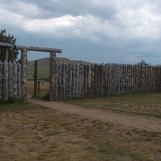
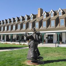
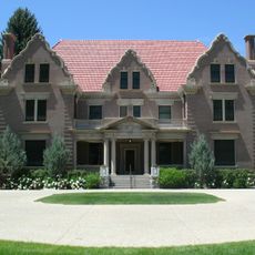
HF Bar Ranch Historic District, Historic ranch district in Johnson County, Wyoming.

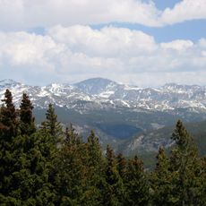
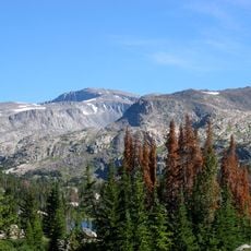
The HF Bar Ranch Historic District is a ranch property in Johnson County comprising 36 buildings constructed between 1898 and 1921. The site covers 7,500 acres near the Bighorn National Forest.

The property began as a working ranch and later evolved into a guest destination. Frank O. Horton acquired the land in 1911 with backing from Warren Gorrell, establishing the operation as both a cattle ranch and accommodation for visitors.

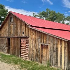
The buildings display rustic design with log cabins situated along Rock Creek, where stone fireplaces and porches supported by pine logs create a cohesive frontier character.

The property offers various activities including horseback riding, fly fishing, hiking, and shooting sports in a remote mountain setting. Overnight stays occur in traditional log cabins scattered along the creek.

Several log cabins were moved from the Salt Creek Oil Field during the 1930s to provide housing for ranch workers. This relocation reflects how the property adapted its structures to meet changing operational needs.

The community of curious travelers

AroundUs brings together thousands of curated places, local tips, and hidden gems, enriched daily by 60,000 contributors worldwide.
Start exploring
Location
Architectural style
rustic architecture
GPS coordinates
44.45861,-106.89972
Latest update
August 30, 2026 22:30
Around this place
Fort Phil Kearny
United States of America

Fort Phil Kearny

6.3 mi
Cloud Peak
United States of America

Cloud Peak

14.5 mi
Bomber Mountain
United States of America

Bomber Mountain

14.2 mi
Cloud Peak Wilderness
United States of America

Cloud Peak Wilderness

15.5 mi
Sheridan Inn
United States of America

Sheridan Inn

24.2 mi
Black Tooth Mountain
United States of America

Black Tooth Mountain

14.3 mi
Jim Gatchell Memorial Museum
United States of America

Jim Gatchell Memorial Museum

12.5 mi
TA Ranch Historic District
United States of America

TA Ranch Historic District

23.9 mi
United States of America

Cloud Peak Glacier

14.2 mi
Trail End
United States of America

Trail End

23.9 mi
Mount Woolsey
United States of America

Mount Woolsey

14.2 mi
Bighorn Peak
United States of America

Bighorn Peak

17.5 mi
Sheridan County Courthouse
United States of America

Sheridan County Courthouse

23.4 mi
Holland House
United States of America

Holland House

12.4 mi
Darton Peak
United States of America

Darton Peak

16.3 mi
Union Congregational Church and Parsonage
United States of America

Union Congregational Church and Parsonage

12.7 mi
Main Street Historic District
United States of America

Main Street Historic District

12.6 mi
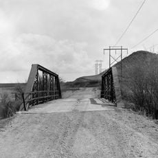
ECR Kooi Bridge
United States of America

ECR Kooi Bridge

32.5 mi
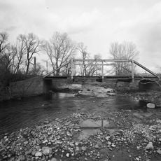
EDL Peloux Bridge
United States of America

EDL Peloux Bridge

13.8 mi
ECS Bridge over Big Goose Creek
United States of America

ECS Bridge over Big Goose Creek

22.7 mi
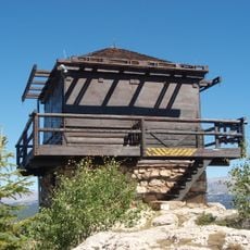
James T. Saban Lookout
United States of America

James T. Saban Lookout

26.1 mi
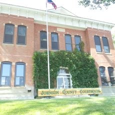
Johnson County Courthouse
United States of America

Johnson County Courthouse

12.5 mi
Holy Name Catholic School
United States of America

Holy Name Catholic School

23.4 mi
Mount View
United States of America

Mount View

23.2 mi
Odd Fellows Hall
United States of America

Odd Fellows Hall

15.9 mi
St. Peter's Episcopal Church
United States of America

St. Peter's Episcopal Church

23.6 mi
Robinson-Smith House
United States of America

Robinson-Smith House

23.3 mi
Dry Creek Petrified Tree Environmental Education Area
United States of America

Dry Creek Petrified Tree Environmental Education Area

19.7 mi
Show the full map
Reviews
Share your experience

No review yet

Discussions
Start a discussion...

No discussion yet

« HF Bar Ranch Historic District - Historic ranch district in Johnson County, Wyoming » is provided by Around Us (aroundus.com). Images and texts are derived from Wikimedia project under a Creative Commons license. You are allowed to copy, distribute, and modify copies of this page, under the conditions set by the license, as long as this note is clearly visible.

Discover hidden gems everywhere you go!

From secret cafés to breathtaking viewpoints, skip the crowded tourist spots and find places that match your style. Our app makes it easy with voice search, smart filtering, route optimization, and insider tips from travelers worldwide. Download now for the complete mobile experience.
Around Us App Screenshot

A unique approach to discovering new places

Le Figaro

All the places worth exploring

France Info

A tailor-made excursion in just a few clicks

20 Minutes

Around Us
Travel Guide & Maps
Download

Send to your phone

QR Code
1

Open the camera app on your mobile.

2

Point at the QR code with your camera. A notification will appear.

3

Tap the notification to open the link.