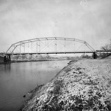
Belle Fourche River, River system near Devils Tower, United States
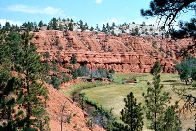
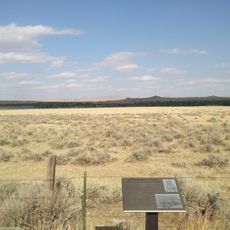
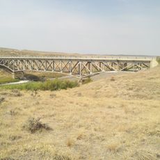
Belle Fourche River is a river system that flows roughly 290 miles through Wyoming and South Dakota. The water travels through varied terrain and feeds into the larger Mississippi River watershed as it makes its way across the region.
In the late 1800s, explorers and settlers called this waterway the North Fork of the Cheyenne River before it received its current name. The term "Belle Fourche" comes from French and refers to the river's forked shape in the landscape.
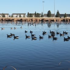
The river flows through lands that hold meaning for several Native American nations, where people have fished and gathered along its banks for generations. The landscape shows how this water source has shaped daily life and traditions in the region.
You can access fishing areas at various spots along the riverbanks, particularly near Devils Tower National Monument. Familiarize yourself with Wyoming and South Dakota fishing rules and regulations before visiting the area.
The point where the river crosses from Wyoming into South Dakota marks the lowest elevation in Wyoming at roughly 3,099 feet above sea level. This geographical feature draws attention because it sits exactly at the state boundary.
The community of curious travelers
AroundUs brings together thousands of curated places, local tips, and hidden gems, enriched daily by 60,000 contributors worldwide.