UL Bend Wilderness, National Wilderness Area in central Montana, United States.
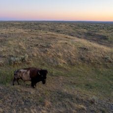
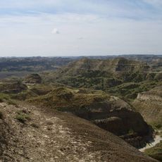
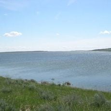
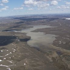
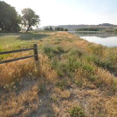
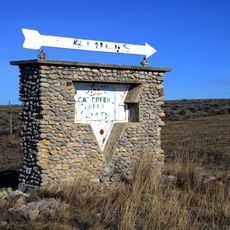
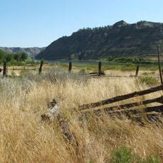
UL Bend Wilderness is a protected area of about 20,819 acres north of a U-shaped bend in the Missouri River within the Charles M. Russell National Wildlife Refuge. The terrain combines steep-sided forested coulees, open prairie grasslands, and rocky breaks that create distinct habitats across the landscape.
The area received official protection in 1976 as part of the National Wilderness Preservation System through federal legislation. This designation secured the preservation of the land for future generations while restricting certain types of development.
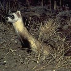
The landscape hosts prairie dog colonies with extensive burrow networks that support the reintroduced black-footed ferret population. Visitors can observe how these animals shape the grasslands and understand the importance of this ecosystem today.
You can explore the unmarked terrain on foot, by horseback, or with camping gear, though hunting and fishing vary by season and may require permits. It helps to check local conditions and access rules before your visit to plan appropriately.
The land was once roamed by Tyrannosaurus rex millions of years ago, and the rocky formations still carry traces of this prehistoric past in their geology. Observant visitors can see how the landscape reveals layers of deep time in its exposed rock faces.
The community of curious travelers
AroundUs brings together thousands of curated places, local tips, and hidden gems, enriched daily by 60,000 contributors worldwide.