
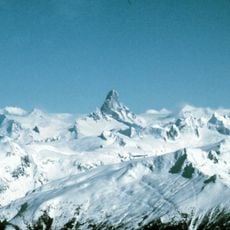
Craig Headwaters Protected Area, northwestern British Columbia along the Craig River
Location: Regional District of Kitimat-Stikine
GPS coordinates: 56.55610,-131.22830
Latest update: April 11, 2025 19:19
Devils Thumb
94.8 km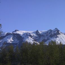
Hoodoo Mountain
24.3 km
The Volcano
27.6 km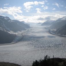
Salmon Glacier
86.8 km
Stikine Icecap
83.7 km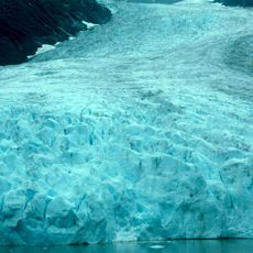
Bear Glacier Provincial Park
108.9 km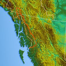
Mount Ratz
113.8 km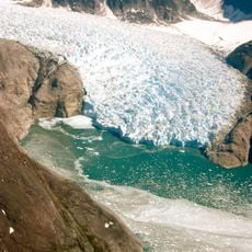
LeConte Glacier
75.2 km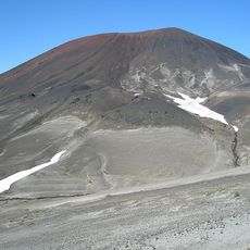
Cocoa Crater
125.9 km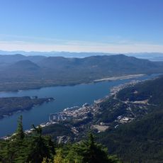
Deer Mountain
137 km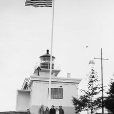
Guard Island Light
130.1 km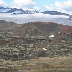
Tencho Glacier
126.6 km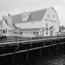
Sons of Norway Hall
109.5 km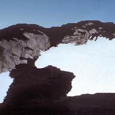
Lava Forks Provincial Park
23.4 km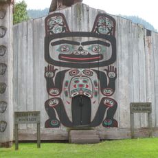
Chief Shakes Historic Site
120.8 km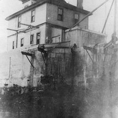
Lincoln Rock Light
106.4 km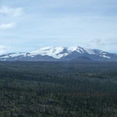
Mount Edziza Provincial Park and Recreation Area
119.3 km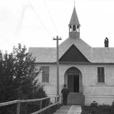
St. Philip's Episcopal Church
71.3 km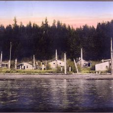
Chief Son-I-Hat's Whale House and Totems Historic District
135.1 km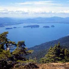
Duncan Canal
115.1 km
Twin Glacier
28.3 km
Etolin Canoe
86.3 km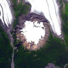
Hoodoo Glacier
29.7 km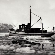
M/V Chugach Ranger
110.2 km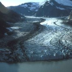
Shakes Glacier
64.5 km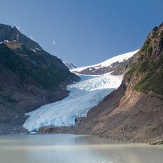
Bear River Glacier
108 km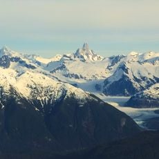
Patterson Glacier
95.3 km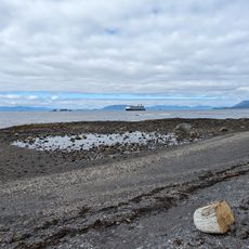
South Point Higgins Beach
128.9 kmReviews
Visited this place? Tap the stars to rate it and share your experience / photos with the community! Try now! You can cancel it anytime.
Discover hidden gems everywhere you go!
From secret cafés to breathtaking viewpoints, skip the crowded tourist spots and find places that match your style. Our app makes it easy with voice search, smart filtering, route optimization, and insider tips from travelers worldwide. Download now for the complete mobile experience.

A unique approach to discovering new places❞
— Le Figaro
All the places worth exploring❞
— France Info
A tailor-made excursion in just a few clicks❞
— 20 Minutes