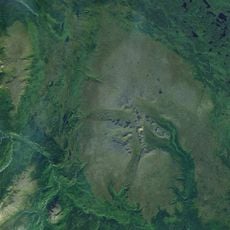
Tuya Butte, Volcanic butte in British Columbia, Canada.
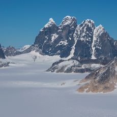
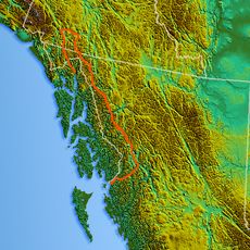
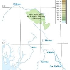
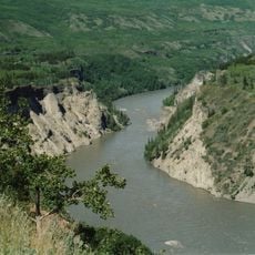
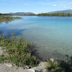
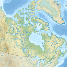
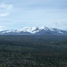
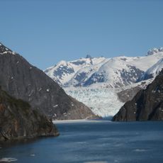
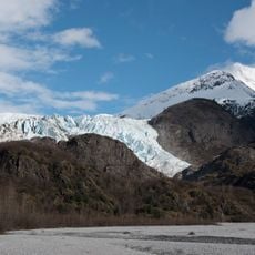
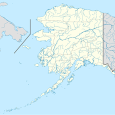
Tuya Butte is a volcanic formation in the Tuya Mountains of north-central British Columbia, close to the border with Yukon Territory, with a flat top and steep sides. It sits within Tuya Mountains Provincial Park, between Tuya Lake and the Jennings River.
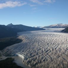
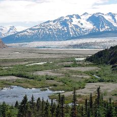
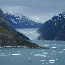
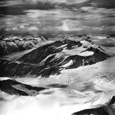
This formation was created during the last ice age, when a volcanic eruption burned its way up through the thick Cordilleran Ice Sheet that covered the region. The result was a flat-topped cone shape that puzzled geologists until they understood it as a product of eruption beneath ice.
The name "Tuya" comes from the Tahltan language, spoken by the indigenous people of this region, and has since become a term used by geologists around the world. Standing here, a visitor is looking at the place that gave its name to an entire class of volcanic formation.
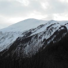
Access is only possible in the warmer months, once snow has cleared and tracks are passable. The area is very remote, so careful preparation with solid gear and enough supplies is essential before setting out.
Tuya Butte was the first documented example of a volcano erupting beneath an ice sheet, which is why this type of formation is now called a "tuya" by geologists everywhere. A single hill in northern Canada ended up lending its name to a whole category of volcano found on Earth and even on Mars.
The community of curious travelers
AroundUs brings together thousands of curated places, local tips, and hidden gems, enriched daily by 60,000 contributors worldwide.