Bad Rapids, rapids in British Columbia, Canada
Location: British Columbia
Elevation above the sea: 167 m
GPS coordinates: 57.84969,-131.37057
Latest update: November 2, 2025 05:35
Devils Thumb
93.6 km
Hoodoo Mountain
120.1 km
Level Mountain
63.1 km
Grand Canyon of the Stikine
45.6 km
Stikine Icecap
100.9 km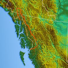
Mount Ratz
75.4 km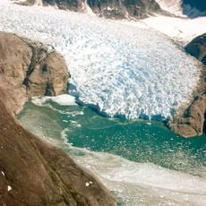
LeConte Glacier
127.5 km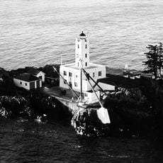
Five Finger Islands Light
149.5 km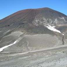
Cocoa Crater
45.6 km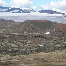
Tencho Glacier
48 km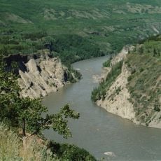
Stikine River Provincial Park
140.6 km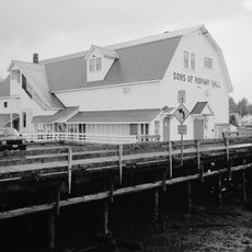
Sons of Norway Hall
149.9 km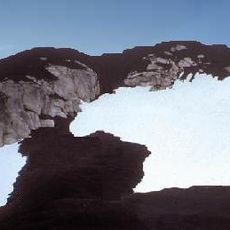
Lava Forks Provincial Park
158.4 km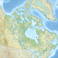
Todagin South Slope Provincial Park
90.2 km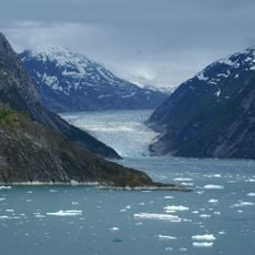
Endicott Arm
112 km
Isspah Butte
141.4 km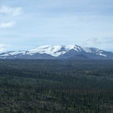
Mount Edziza Provincial Park and Recreation Area
51.3 km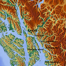
Port Snettisham
143 km
Twin Glacier
116 km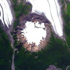
Hoodoo Glacier
115.5 km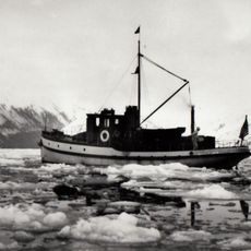
M/V Chugach Ranger
150.5 km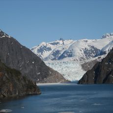
South Sawyer Glacier
87.9 km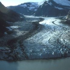
Shakes Glacier
124.9 km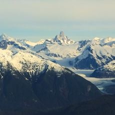
Patterson Glacier
117.3 km
Turner Lake East Cabin
146.8 km
Chief Shakes Hot Springs Site
131.6 km
Cascade Waterfalls Viewpoint
78.1 km
Whale Observatory
148.1 kmReviews
Visited this place? Tap the stars to rate it and share your experience / photos with the community! Try now! You can cancel it anytime.
Discover hidden gems everywhere you go!
From secret cafés to breathtaking viewpoints, skip the crowded tourist spots and find places that match your style. Our app makes it easy with voice search, smart filtering, route optimization, and insider tips from travelers worldwide. Download now for the complete mobile experience.

A unique approach to discovering new places❞
— Le Figaro
All the places worth exploring❞
— France Info
A tailor-made excursion in just a few clicks❞
— 20 Minutes