
Fourmile Rapids, rapids in British Columbia, Canada
Location: British Columbia
Elevation above the sea: 635 m
GPS coordinates: 59.88288,-128.55329
Latest update: May 15, 2025 09:38
Nahanni National Park Reserve
240.8 km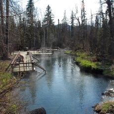
Liard River Hot Springs Provincial Park
149.8 km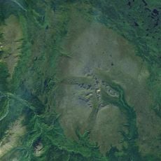
Level Mountain
228.3 km
Tagish Lake
316.8 km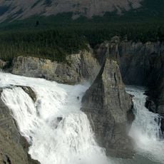
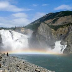
Virginia Falls
245.6 km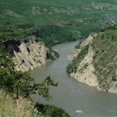
Grand Canyon of the Stikine
236.3 km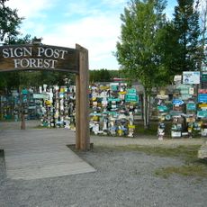
Sign Post Forest
22 km
Mount Nirvana
226.6 km
Nahanni Butte
311.4 km
King Peak
280.8 km
Nááts'įhch'oh National Park Reserve
264 km
Devils Paw
326.6 km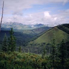
Northern Rocky Mountains Provincial Park
304.9 km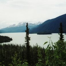
Muncho Lake Provincial Park
163.9 km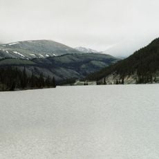
Stone Mountain Provincial Park
260.4 km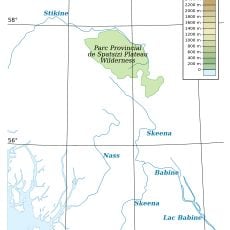
Spatsizi Plateau Wilderness Provincial Park
274.6 km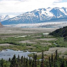
Llewellyn Glacier
325.1 km
Cocoa Crater
277.7 km
Tencho Glacier
276.6 km
Atlin/A Téix'gi Aan Tlein Provincial Park
295.1 km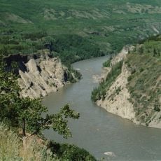
Stikine River Provincial Park
218.5 km
Todagin South Slope Provincial Park
264.3 km
Tā Ch’ilā Provincial Park
63.1 km
Isspah Butte
188.7 km
Mount Edziza Provincial Park and Recreation Area
283.6 km
Twin Glacier Camp
344 km
Cariboo Crossing Trading Post
343.5 km
Finlay-Russel Provincial Park
295.6 kmReviews
Visited this place? Tap the stars to rate it and share your experience / photos with the community! Try now! You can cancel it anytime.
Discover hidden gems everywhere you go!
From secret cafés to breathtaking viewpoints, skip the crowded tourist spots and find places that match your style. Our app makes it easy with voice search, smart filtering, route optimization, and insider tips from travelers worldwide. Download now for the complete mobile experience.

A unique approach to discovering new places❞
— Le Figaro
All the places worth exploring❞
— France Info
A tailor-made excursion in just a few clicks❞
— 20 Minutes