
Gun Rapids, rapids in the Northwest Territories, Canada
Location: Northwest Territories
GPS coordinates: 62.65020,-122.16978
Latest update: March 7, 2025 14:45
Nahanni National Park Reserve
224.6 km
Délı̨nę
288.9 km
Behchokǫ̀
312.7 km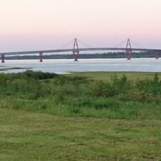
Deh Cho Bridge
285.9 km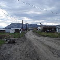
Tulita
301.3 km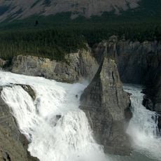
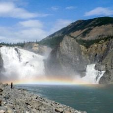
Virginia Falls
218.9 km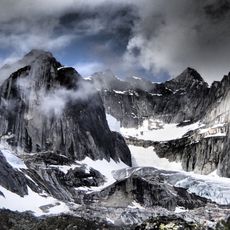
Mount Nirvana
298.2 km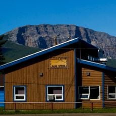
Nahanni Butte
190.8 km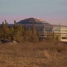
Northwest Territories Legislative Building
399.9 km
Alexandra Falls
393 km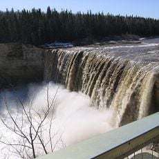
Enterprise
394.8 km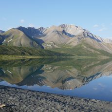
Nááts'įhch'oh National Park Reserve
316.1 km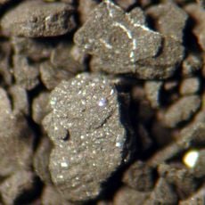
Horn River Formation
251.1 km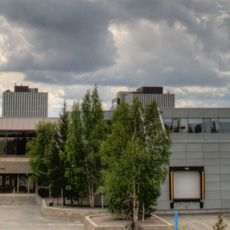
Prince of Wales Northern Heritage Centre
400 km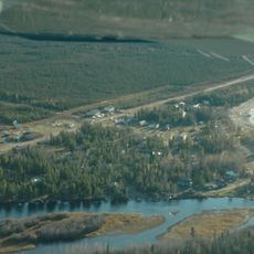
Sambaa K'e
250.6 km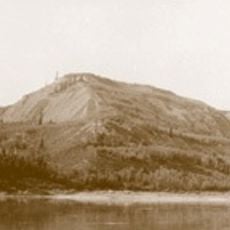
Saoyú-ʔehdacho
294 km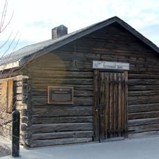
Fireweed Studio
400.2 km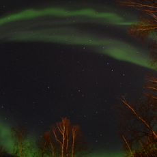
Fred Henne Territorial Park
397.8 km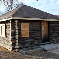
Log School House
400.3 km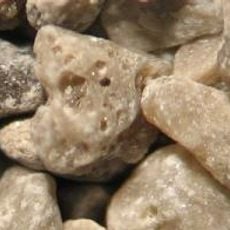
Redknife Formation
194.3 km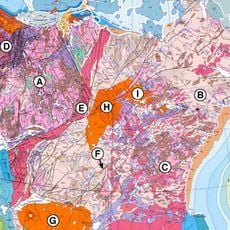
Great Bear Magmatic Zone
371.6 km
Ehdaa
97.9 km
Déline Fishery
289.5 km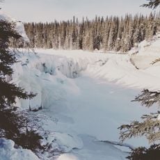
Lady Evelyn Falls Territorial Park
316.4 km
McNallie Creek Territorial Park
360.9 km
McKinnon Territorial Park
366.2 km
Twin Falls Gorge Territorial Park
394.2 km
Norman Wells A
369.8 kmReviews
Visited this place? Tap the stars to rate it and share your experience / photos with the community! Try now! You can cancel it anytime.
Discover hidden gems everywhere you go!
From secret cafés to breathtaking viewpoints, skip the crowded tourist spots and find places that match your style. Our app makes it easy with voice search, smart filtering, route optimization, and insider tips from travelers worldwide. Download now for the complete mobile experience.

A unique approach to discovering new places❞
— Le Figaro
All the places worth exploring❞
— France Info
A tailor-made excursion in just a few clicks❞
— 20 Minutes