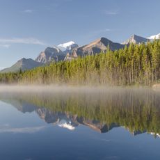
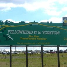
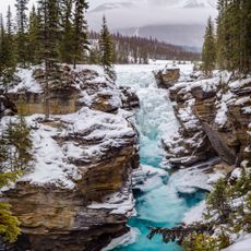
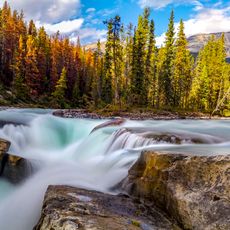
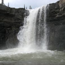
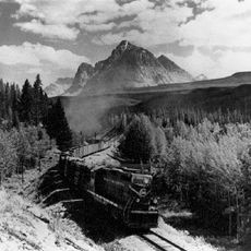
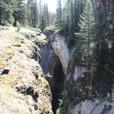
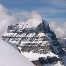
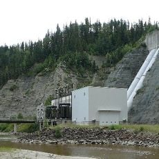
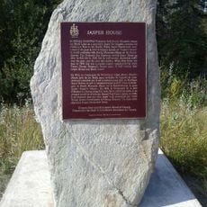
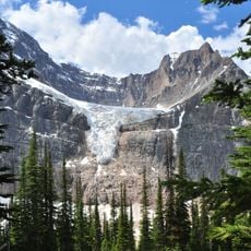
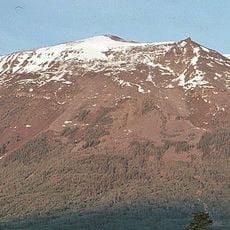
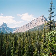
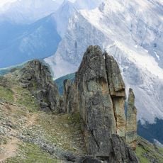
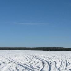
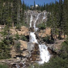
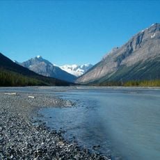
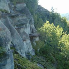
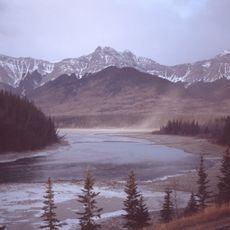
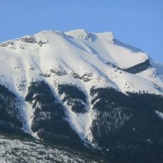
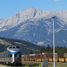
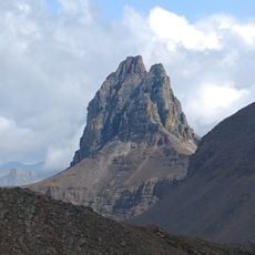
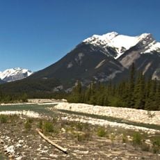
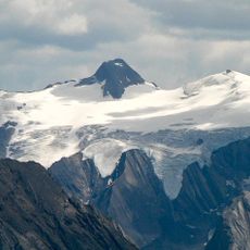
Yellowhead County, municipal district in Alberta
Location: Alberta
Shares border with: Woodlands County, Parkland County, Clearwater County, Improvement District No. 12 (Jasper National Park), Improvement District No. 25, Greenview No. 16
Website: http://yellowheadcounty.ab.ca
GPS coordinates: 53.58167,-116.43444
Latest update: March 6, 2025 17:55
Jasper National Park
130.9 km
Yellowhead Highway
55.6 km
TransCanada pipeline
88.8 km
Athabasca Falls
140.7 km
Sunwapta Falls
142.2 km
Crescent Falls
133.1 km
Yellowhead Pass
155.5 km
Maligne Canyon
128.2 km
Mount Alberta
160.1 km
Brazeau Reservoir
88.2 km
Jasper House
113.8 km
Angel Glacier
148.2 km
The Whistlers
141 km
Jasper Park Information Centre
134.9 km
William A. Switzer Provincial Park
90.8 km
Cadomin Cave
40.2 km
White Goat Wilderness Area
154.3 km
Cadomin Formation
87.4 km
Obed Lake Provincial Park
43.9 km
Tangle Falls
157 km
Chaba River
153.4 km
Sundance Provincial Park
29.9 km
Nikanassin Formation
101 km
Roche Bonhomme
123 km
Hawk Mountain
122.7 km
The Watchtower
126.3 km
Chetamon Mountain
131.3 km
Maligne Mountain
122 kmReviews
Visited this place? Tap the stars to rate it and share your experience / photos with the community! Try now! You can cancel it anytime.
Discover hidden gems everywhere you go!
From secret cafés to breathtaking viewpoints, skip the crowded tourist spots and find places that match your style. Our app makes it easy with voice search, smart filtering, route optimization, and insider tips from travelers worldwide. Download now for the complete mobile experience.
A unique approach to discovering new places❞
— Le Figaro
All the places worth exploring❞
— France Info
A tailor-made excursion in just a few clicks❞
— 20 Minutes