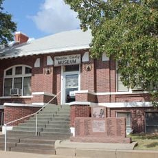
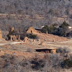
Devil's Canyon, Archaeological site in Kiowa County, Oklahoma, United States
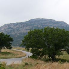
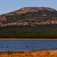
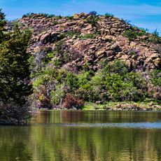
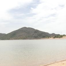
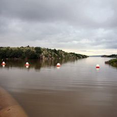
Devil's Canyon is a natural gorge that cuts through the Wichita Mountains for about 1.5 miles, running between Flat Top Mountain and Soldier's Spring Mountain before reaching the North Fork of Red River. The site encompasses around 738 acres and is bounded by distinctive mountain peaks on either side.
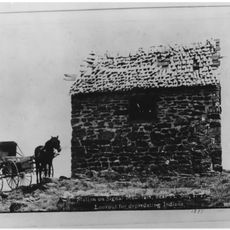
The first official meeting between the US government and Plains Indian nations occurred in 1834 when Colonel Henry Dodge led troops to a Wichita village within the canyon. This encounter marked an early moment in diplomatic relations between the federal government and the tribes of the Great Plains.
This canyon served as a crossroads and dwelling place for Kiowa, Comanche, and Wichita peoples across different eras, and their presence shaped how the land was used. The narrow passage and natural springs made it an ideal location where different groups gathered and lived.
The site is located in Kiowa County and can be found using the coordinates 34.8358° N and -99.2553° W for navigation purposes. Access to the canyon requires some planning since it is a remote area with limited immediate amenities nearby.
Spanish miners established a settlement here during the 1650s while searching for mineral deposits in the area. Their presence left traces that still influence the stories told about this place today.
The community of curious travelers
AroundUs brings together thousands of curated places, local tips, and hidden gems, enriched daily by 60,000 contributors worldwide.