Hall County

Log in to your account

AroundUs is a community-driven map of interesting places, built by curious explorers like you. It grows with every review, story, and photo you share.
Connect to save your favorite spots, contribute locations, and create personalized routes.
Continue with Google
Continue with Apple
Continue with X
Continue with Facebook
Continue with email
By continuing, you accept our Terms and Conditions and our Privacy Policy
Create an account
Add to collection
Map
Suggest a change
Share

Hall County, County in Texas Panhandle, US.

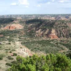
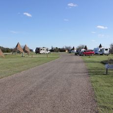
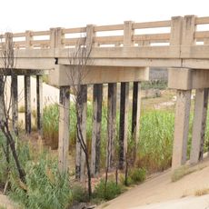
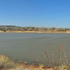
Hall County is an administrative division in southeastern Texas Panhandle containing several small towns including Memphis and Turkey connected by regional highways. The terrain is generally flat to gently rolling and primarily used for farming and ranching.

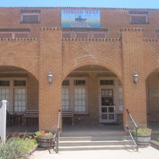
The area was established as a county in 1876 and named after Warren D. C. Hall, a figure from the early Texas Republic. Settlement and development accelerated during the late 1800s as ranching and farming became the economic foundation.

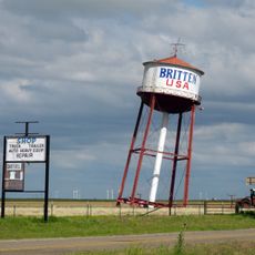
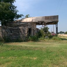
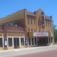
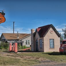
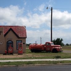
Small towns throughout the county maintain their rural character and deep ties to farming and cattle ranching. Life here centers on agricultural traditions that have shaped the region for generations.

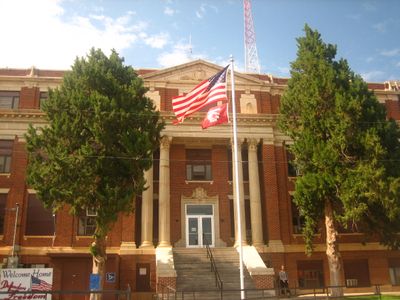
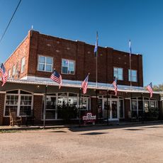
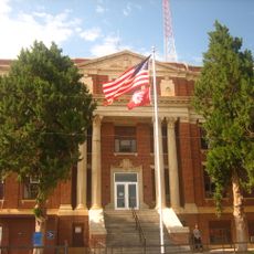
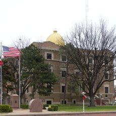
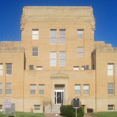
Memphis serves as the county seat and lies along U.S. Route 287, roughly 90 miles southeast of Amarillo. The area is accessible by car and offers basic services, so plan accordingly for a rural setting.

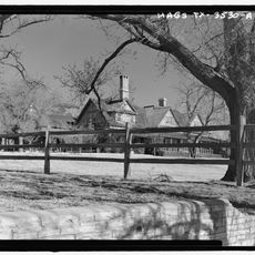
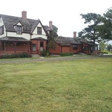
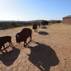
The JA Ranch, founded by ranching pioneer Charles Goodnight, extended into this county and connected it to major cattle operations of the era. This historic property represents the period when large-scale ranching shaped both the economy and identity of the region.

Location: Texas

Inception: 1890

Capital city: Memphis

Shares border with: Cottle County, Donley County, Collingsworth County, Childress County, Motley County, Briscoe County

Website: http://hallcountytexas.com

GPS coordinates: 34.52000,-100.69000

Latest update: December 10, 2025 15:55

Photos
Around this place
Palo Duro Canyon
United States of America

Palo Duro Canyon

101.4 km
Caprock Canyons State Park and Trailway
United States of America

Caprock Canyons State Park and Trailway

34.3 km
JA Ranch
United States of America

JA Ranch

56.3 km
Leaning Tower of Britten
United States of America

Leaning Tower of Britten

83.6 km
Copper Breaks State Park
United States of America

Copper Breaks State Park

97.5 km
McClellan Creek National Grassland
United States of America

McClellan Creek National Grassland

78.6 km
Devils Rope Barbed Wire Museum
United States of America

Devils Rope Barbed Wire Museum

79.7 km
Hotel Turkey
United States of America

Hotel Turkey

23.7 km
Charles and Mary Ann Goodnight Ranch House
United States of America

Charles and Mary Ann Goodnight Ranch House

72.5 km
Magnolia Service Station
United States of America

Magnolia Service Station

100.6 km
Midway Drive-In
United States of America

Midway Drive-In

30.8 km
Route 66 Bridge over the Chicago, Rock Island and Gulf Railroad
United States of America

Route 66 Bridge over the Chicago, Rock Island and Gulf Railroad

95 km
Cruz Gigante de Groom
United States of America

Cruz Gigante de Groom

86.4 km
Donley County Courthouse and Jail
United States of America

Donley County Courthouse and Jail

49.9 km
Hall County Courthouse
United States of America

Hall County Courthouse

26.9 km
Lake Theo
United States of America

Lake Theo

36.4 km
Devil's Rope Museum
United States of America

Devil's Rope Museum

79.6 km
Pioneer West Museum
United States of America

Pioneer West Museum

87.4 km
Palo Duro State Park
United States of America

Palo Duro State Park

100.2 km
Sandell Drive-In
United States of America

Sandell Drive-In

51 km
Ritz Theatre
United States of America

Ritz Theatre

57.4 km
Hale County Courthouse
United States of America

Hale County Courthouse

100.3 km
Childress County Heritage Museum
United States of America

Childress County Heritage Museum

45.5 km
Cottle County Courthouse
United States of America

Cottle County Courthouse

66.7 km
McLean Commercial Historic District
United States of America

McLean Commercial Historic District

79.7 km
Phillips 66 Station (McLean, Texas)
United States of America

Phillips 66 Station (McLean, Texas)

79.7 km
Overlook Interpretive Center
United States of America

Overlook Interpretive Center

35.7 km
Caprock Canyons State Park and Trailway Scenic Overlook
United States of America

Caprock Canyons State Park and Trailway Scenic Overlook

34.9 km
Show the full map
Reviews

Visited this place? Tap the stars to rate it and share your experience / photos with the community! Try now! You can cancel it anytime.

Administrative divisions
« Hall County - County in Texas Panhandle, US » is provided by Around Us (aroundus.com). Images and texts are derived from Wikimedia project under a Creative Commons license. You are allowed to copy, distribute, and modify copies of this page, under the conditions set by the license, as long as this note is clearly visible.

Discover hidden gems everywhere you go!

From secret cafés to breathtaking viewpoints, skip the crowded tourist spots and find places that match your style. Our app makes it easy with voice search, smart filtering, route optimization, and insider tips from travelers worldwide. Download now for the complete mobile experience.

Around Us App Screenshot

A unique approach to discovering new places

Le Figaro

All the places worth exploring

France Info

A tailor-made excursion in just a few clicks

20 Minutes