Enable Location

We need your location to show you interesting places around you

Discover nearby places

Find interesting locations and hidden gems around you

Precise directions

Get accurate directions and distances to places

Your location is never shared with other users. It's only used when you tap the location button.

Dewey County

Log in to your account

Start exploring — it's free

Trusted by 64,796 travelers worldwide

Continue with Google
Continue with Apple
or

We will send you a code to connect

By continuing, you accept our Terms and Conditions and our Privacy Policy

Check your inbox

We've sent a pincode in your inbox. Please enter the code below.

Discussion Reviews 1 Photos
10.6k Popularity

Dewey County, County division in western Oklahoma, United States

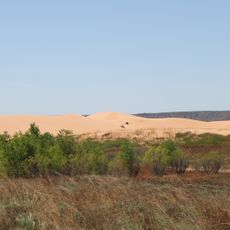
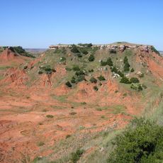
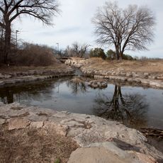
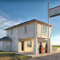
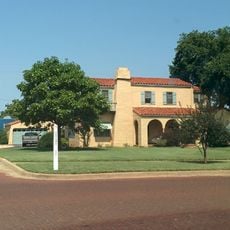
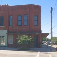
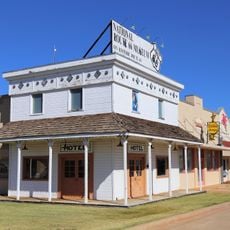
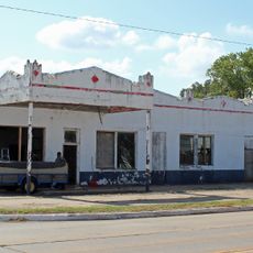
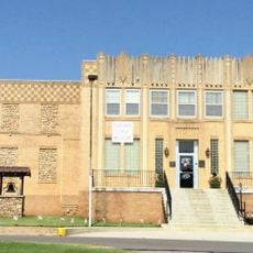
Dewey County is an administrative division in western Oklahoma, US, made up of open prairie and gently rolling terrain. Taloga serves as the county seat, and several other small towns are scattered across the area, connected by rural roads.

The land was home to Native peoples for centuries before it was opened to non-Native settlement in 1892. When Oklahoma Territory was organized, the county boundaries were drawn and local government took shape around Taloga.

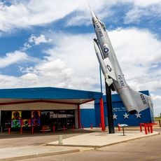
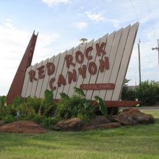
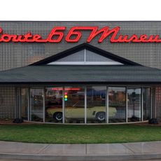
The county takes its name from Admiral George Dewey, who became a national hero after the Battle of Manila Bay in 1898. Driving through the small towns here, visitors can still find buildings and local institutions that reflect this patriotic naming tradition.

A car is the only practical way to get around, as the towns are spread far apart and there is no public transportation. Most main roads are paved, but some smaller routes heading off the main highways can be unpaved, so it is worth checking conditions before heading out.

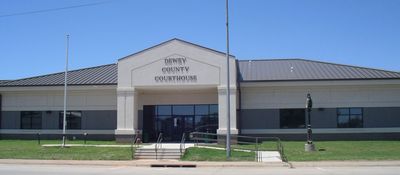
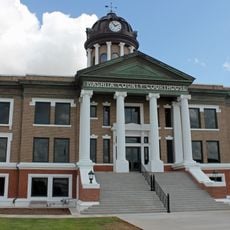
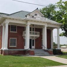
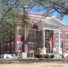
The courthouse in Taloga is one of the smallest county courthouses in all of Oklahoma, a direct reflection of how few people live in the county. Despite its size, it functions as a fully operational government center with all the usual county offices.

The community of curious travelers

AroundUs brings together thousands of curated places, local tips, and hidden gems, enriched daily by 60,000 contributors worldwide.

Start exploring
GPS coordinates
35.97950,-98.98166
Latest update
March 3, 2026 08:21
Around this place
Little Sahara State Park
United States of America

Little Sahara State Park

62.3 km
Foss Reservoir
United States of America

Foss Reservoir

50.7 km
Roman Nose State Park
United States of America

Roman Nose State Park

50.4 km
Alabaster Caverns State Park
United States of America

Alabaster Caverns State Park

81.4 km
Gloss Mountain State Park
United States of America

Gloss Mountain State Park

56.3 km
Boiling Springs State Park
United States of America

Boiling Springs State Park

60.2 km
Stafford Air & Space Museum
United States of America

Stafford Air & Space Museum

56 km
Fort Supply
United States of America

Fort Supply

84.3 km
Red Rock Canyon State Park
United States of America

Red Rock Canyon State Park

82 km
United States of America

Sod House

74.3 km
Rock Mary
United States of America

Rock Mary

76.6 km
Provine Service Station
United States of America

Provine Service Station

60.7 km
Washita National Wildlife Refuge
United States of America

Washita National Wildlife Refuge

47.9 km
Oklahoma Route 66 Museum
United States of America

Oklahoma Route 66 Museum

52.7 km
Storm House
United States of America

Storm House

74.3 km
Central National Bank
United States of America

Central National Bank

96 km
Washita County Courthouse
United States of America

Washita County Courthouse

76.7 km
L. L. Stine House
United States of America

L. L. Stine House

62.9 km
United States Post Office Watonga
United States of America

United States Post Office Watonga

53.4 km
Blaine County Courthouse
United States of America

Blaine County Courthouse

53.6 km
Cordell Carnegie Public Library
United States of America

Cordell Carnegie Public Library

76.5 km
National Rt 66 and Transportation Museum
United States of America

National Rt 66 and Transportation Museum

75.4 km
Canute Service Station
United States of America

Canute Service Station

67.7 km
Ellis County Courthouse
United States of America

Ellis County Courthouse

73.1 km
Cherokee Strip Museum of Alva
United States of America

Cherokee Strip Museum of Alva

95.2 km
National Route 66 Museum
United States of America

National Route 66 Museum

75.4 km
Boiling Springs State Park Pool Bathhouse
United States of America

Boiling Springs State Park Pool Bathhouse

60.1 km
Shattuck Windmill Museum
United States of America

Shattuck Windmill Museum

86.9 km
Show the full map
Reviews
Share your experience

No review yet

Discussions
Start a discussion...

No discussion yet

« Dewey County - County division in western Oklahoma, United States » is provided by Around Us (aroundus.com). Images and texts are derived from Wikimedia project under a Creative Commons license. You are allowed to copy, distribute, and modify copies of this page, under the conditions set by the license, as long as this note is clearly visible.

Discover hidden gems everywhere you go!

From secret cafés to breathtaking viewpoints, skip the crowded tourist spots and find places that match your style. Our app makes it easy with voice search, smart filtering, route optimization, and insider tips from travelers worldwide. Download now for the complete mobile experience.

Around Us App Screenshot

A unique approach to discovering new places

Le Figaro

All the places worth exploring

France Info

A tailor-made excursion in just a few clicks

20 Minutes

Around Us
Travel Guide & Maps
Download

Send to your phone

QR Code
1

Open the camera app on your mobile.

2

Point at the QR code with your camera. A notification will appear.

3

Tap the notification to open the link.