Enable Location

We need your location to show you interesting places around you

Discover nearby places

Find interesting locations and hidden gems around you

Precise directions

Get accurate directions and distances to places

Your location is never shared with other users. It's only used when you tap the location button.

Edwards County

Log in to your account

Start exploring — it's free

Trusted by 61,504 travelers worldwide

Continue with Google
Continue with Apple
or

We will send you a code to connect

By continuing, you accept our Terms and Conditions and our Privacy Policy

Check your inbox

We've sent a pincode in your inbox. Please enter the code below.

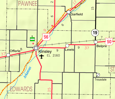
Edwards County, County in Central Kansas, United States.

Description

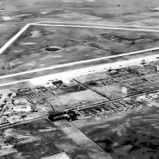
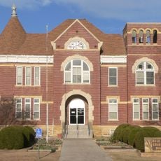
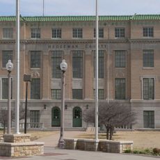
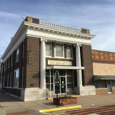
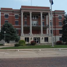
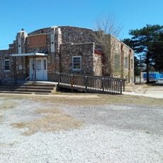
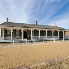
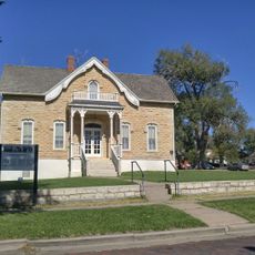
Edwards County is an administrative area in central Kansas spread across flat plains with agricultural land and several rural communities. Kinsley serves as the county seat where government services and administrative functions are based.

History

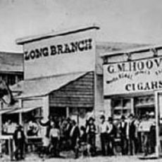
This area was officially established on March 7, 1874, during the period of westward expansion across the American frontier. The founding reflected the wave of settlement that opened the interior of the continent during the second half of the 1800s.

Culture

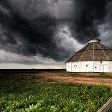
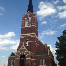
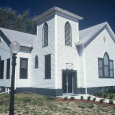
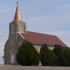
Farming shapes how people live and gather together in this county, with regular events and celebrations tied to the seasons and harvest cycles. These traditions form the backbone of community life and influence how residents spend their time throughout the year.

Practical

A network of roads connects the various communities throughout the area and allows visitors to drive between settlements. Most visitor services and information are concentrated in Kinsley, which serves as the main hub of the county.

Did you know?

North Brown Township has an extraordinarily low population density with just a few residents spread across many square kilometers. This extreme sparseness makes it one of the least densely populated areas in the region.

Location
Inception
March 7, 1874
Capital city
Kinsley
Shares border with
Pawnee County, Kiowa County, Stafford County, Pratt County, Ford County, Hodgeman County
GPS coordinates
37.88330,-99.26670
Latest update
December 10, 2025 15:49

AroundUs brings together thousands of curated places, local tips, and hidden gems, enriched daily by 60,000 contributors worldwide. Discover all places nearby (Kansas).

Around this place
Long Branch Saloon
United States of America

Long Branch Saloon

68 km
Big Well
United States of America

Big Well

31 km
Brenham
United States of America

Brenham

34.7 km
Fort Dodge
United States of America

Fort Dodge

61.2 km
Pawnee Rock
United States of America

Pawnee Rock

50 km
Kansas Barbed Wire Museum
United States of America

Kansas Barbed Wire Museum

71.5 km
Cathedral of Our Lady of Guadalupe
United States of America

Cathedral of Our Lady of Guadalupe

68.2 km
Great Bend Army Airfield
United States of America

Great Bend Army Airfield

62.4 km
Fromme-Birney Round Barn
United States of America

Fromme-Birney Round Barn

45 km
Sacred Heart Cathedral
United States of America

Sacred Heart Cathedral

67.4 km
Dodge City Public Library
United States of America

Dodge City Public Library

67.7 km
Immaculate Heart of Mary Catholic Church
United States of America

Immaculate Heart of Mary Catholic Church

34.7 km
Stafford Reformed Presbyterian Church
United States of America

Stafford Reformed Presbyterian Church

58.7 km
Rush County Courthouse
United States of America

Rush County Courthouse

72.1 km
Hodgeman County Courthouse
United States of America

Hodgeman County Courthouse

59.3 km
Gano Grain Elevator and Scale House
United States of America

Gano Grain Elevator and Scale House

20.3 km
Hotel Roberts
United States of America

Hotel Roberts

53.5 km
S.P. Gebhart House
United States of America

S.P. Gebhart House

53.2 km
Nagel House
United States of America

Nagel House

67.8 km
Farmers National Bank
United States of America

Farmers National Bank

59.2 km
Stafford First United Methodist Church
United States of America

Stafford First United Methodist Church

59 km
Pratt County Courthouse
United States of America

Pratt County Courthouse

53.7 km
T. S. Haun House
United States of America

T. S. Haun House

59.6 km
Earl H. Ellis VFW Post No. 1362
United States of America

Earl H. Ellis VFW Post No. 1362

54 km
Fort Larned National Historic Site
United States of America

Fort Larned National Historic Site

33.6 km
Home of Stone
United States of America

Home of Stone

67.4 km
St. Mary's Catholic Church
United States of America

St. Mary's Catholic Church

34.9 km
Kiowa County Historical Museum and Soda Fountain
United States of America

Kiowa County Historical Museum and Soda Fountain

31.2 km
Show the full map
Administrative divisions
« Edwards County - County in Central Kansas, United States » is provided by Around Us (aroundus.com). Images and texts are derived from Wikimedia project under a Creative Commons license. You are allowed to copy, distribute, and modify copies of this page, under the conditions set by the license, as long as this note is clearly visible.

Discover hidden gems everywhere you go!

From secret cafés to breathtaking viewpoints, skip the crowded tourist spots and find places that match your style. Our app makes it easy with voice search, smart filtering, route optimization, and insider tips from travelers worldwide. Download now for the complete mobile experience.

Around Us App Screenshot

A unique approach to discovering new places

Le Figaro

All the places worth exploring

France Info

A tailor-made excursion in just a few clicks

20 Minutes

Around Us
Travel Guide & Maps
Download

Send to your phone

QR Code
1

Open the camera app on your mobile.

2

Point at the QR code with your camera. A notification will appear.

3

Tap the notification to open the link.