Enable Location

We need your location to show you interesting places around you

Discover nearby places

Find interesting locations and hidden gems around you

Precise directions

Get accurate directions and distances to places

Your location is never shared with other users. It's only used when you tap the location button.

Pittsburg County

Log in to your account

Start exploring — it's free

Trusted by 62,563 travelers worldwide

Continue with Google
Continue with Apple
or

We will send you a code to connect

By continuing, you accept our Terms and Conditions and our Privacy Policy

Check your inbox

We've sent a pincode in your inbox. Please enter the code below.

Pittsburg County, County in southeastern Oklahoma, United States.

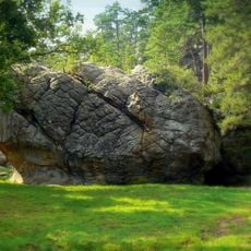
Pittsburg County covers a region in southeastern Oklahoma that includes the Ouachita Mountains and many water features spread across the terrain. Several towns dot the landscape, each contributing to the county's overall character and economic activity.

The area was originally part of the Choctaw Nation before becoming a county in 1907, taking its name from Pittsburgh, Pennsylvania due to similar coal resources in the region. This transition marked a shift in how the land was organized and governed.

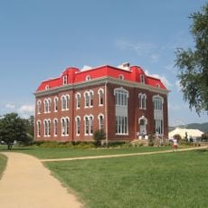
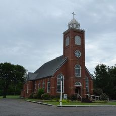
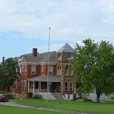
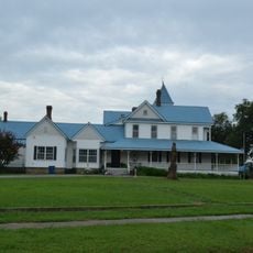
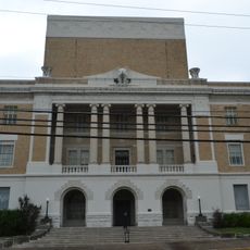
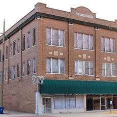
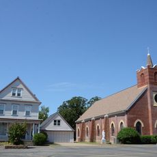
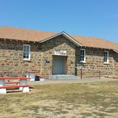
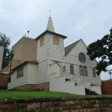
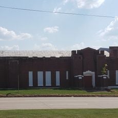
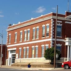
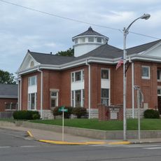
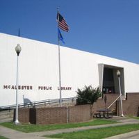
The county encompasses several towns including McAlester, Haileyville, and Hartshorne, where residents maintain deep roots in their community traditions and local heritage. Walking through these places, you notice how the past shapes daily life and the stories people share about their families.

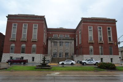
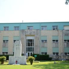
The county is administered by local officials who oversee public services and infrastructure across various communities. Visitors can choose different entry points depending on which towns or areas they want to explore.

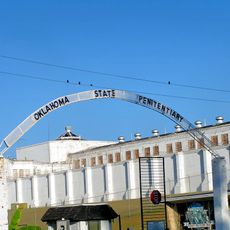
The McAlester ammunition plant was built during World War II and served as a major production site before undergoing military reorganization in the 1970s. This industrial chapter left a lasting mark on the county's economy and identity.

The community of curious travelers

AroundUs brings together thousands of curated places, local tips, and hidden gems, enriched daily by 60,000 contributors worldwide.

Start exploring
Location
Inception
1907
Capital city
McAlester
Shares border with
McIntosh County, Atoka County, Haskell County, Latimer County, Pushmataha County, Coal County, Hughes County
GPS coordinates
34.93000,-95.75000
Latest update
December 7, 2025 19:32
Around this place
Eufaula Lake
United States of America

Eufaula Lake

43.9 km
Oklahoma State Penitentiary
United States of America

Oklahoma State Penitentiary

4.1 km
Robbers Cave State Park
United States of America

Robbers Cave State Park

38.1 km
Arrowhead State Park
United States of America

Arrowhead State Park

28.4 km
Lake Eufaula State Park
United States of America

Lake Eufaula State Park

54.4 km
Choctaw Capitol Building
United States of America

Choctaw Capitol Building

53.7 km
International Temple, Supreme Assembly, Order of the Rainbow for Girls
United States of America

International Temple, Supreme Assembly, Order of the Rainbow for Girls

1.4 km
AT6 Monument
United States of America

AT6 Monument

58.6 km
Aldridge Hotel
United States of America

Aldridge Hotel

1.5 km
St. Joseph's Catholic Church
United States of America

St. Joseph's Catholic Church

2.9 km
Oklahoma Odd Fellows Home at Checotah
United States of America

Oklahoma Odd Fellows Home at Checotah

64.6 km
McAlester House
United States of America

McAlester House

3 km
McAlester Scottish Rite Temple
United States of America

McAlester Scottish Rite Temple

1.5 km
Masonic Temple
United States of America

Masonic Temple

69.7 km
Sacred Heart Catholic Church and Rectory
United States of America

Sacred Heart Catholic Church and Rectory

40 km
Cole Chapel School
United States of America

Cole Chapel School

19.2 km
Cupco Church
United States of America

Cupco Church

48 km
Snow School
United States of America

Snow School

66.9 km
Kinta High School
United States of America

Kinta High School

50.8 km
First Presbyterian Church
United States of America

First Presbyterian Church

2.6 km
Clayton High School Auditorium
United States of America

Clayton High School Auditorium

52.4 km
Holdenville Armory
United States of America

Holdenville Armory

60.3 km
Holdenville City Hall
United States of America

Holdenville City Hall

61.9 km
Haskell County Courthouse
United States of America

Haskell County Courthouse

70.9 km
First United Methodist Church
United States of America

First United Methodist Church

63.6 km
Okla Theatre
United States of America

Okla Theatre

1.8 km
Honey Springs Battlefield
United States of America

Honey Springs Battlefield

71.1 km
Nichols Park South Picnic Shelter
United States of America

Nichols Park South Picnic Shelter

56.7 km
Show the full map
Administrative divisions
« Pittsburg County - County in southeastern Oklahoma, United States » is provided by Around Us (aroundus.com). Images and texts are derived from Wikimedia project under a Creative Commons license. You are allowed to copy, distribute, and modify copies of this page, under the conditions set by the license, as long as this note is clearly visible.

Discover hidden gems everywhere you go!

From secret cafés to breathtaking viewpoints, skip the crowded tourist spots and find places that match your style. Our app makes it easy with voice search, smart filtering, route optimization, and insider tips from travelers worldwide. Download now for the complete mobile experience.

Around Us App Screenshot

A unique approach to discovering new places

Le Figaro

All the places worth exploring

France Info

A tailor-made excursion in just a few clicks

20 Minutes

Around Us
Travel Guide & Maps
Download

Send to your phone

QR Code
1

Open the camera app on your mobile.

2

Point at the QR code with your camera. A notification will appear.

3

Tap the notification to open the link.