Enable Location

We need your location to show you interesting places around you

Discover nearby places

Find interesting locations and hidden gems around you

Precise directions

Get accurate directions and distances to places

Your location is never shared with other users. It's only used when you tap the location button.

Barton County

Log in to your account

Start exploring — it's free

Trusted by 61,502 travelers worldwide

Continue with Google
Continue with Apple
or

We will send you a code to connect

By continuing, you accept our Terms and Conditions and our Privacy Policy

Check your inbox

We've sent a pincode in your inbox. Please enter the code below.

Barton County, Administrative county in central Kansas, United States.

Description

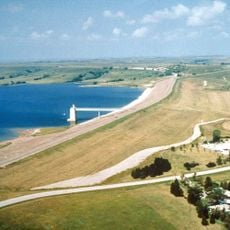
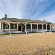
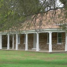
Barton County is an administrative division in central Kansas that encompasses agricultural land and the city of Great Bend. The landscape consists mainly of farmland with gently rolling terrain typical of the state's heartland.

History

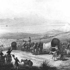
The county was established on February 26, 1867, and named after Clara Barton, founder of the American Red Cross. Agricultural settlement and ranching developed as the primary economic activities in the decades that followed.

Culture

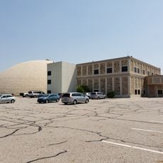
The Barton Community College hosts annual ballet performances and holiday concerts that shape local cultural life throughout the year.

Practical

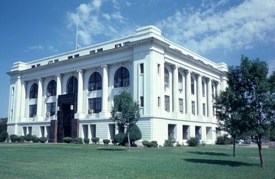
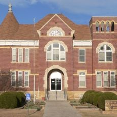
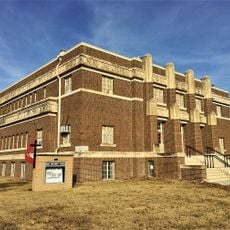
Visitors can reach the county courthouse in Great Bend for local information and services. The area is accessible by well-maintained highways that connect to major routes.

Did you know?

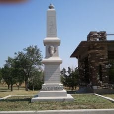
The geographic center of Kansas is located within the county, marking the exact middle point of the state. This geographic distinction makes it a notable reference point.

Location
Inception
February 26, 1867
Capital city
Great Bend
Shares border with
Russell County, Ellsworth County, Rice County, Stafford County, Pawnee County, Rush County
GPS coordinates
38.46670,-98.76670
Latest update
December 7, 2025 20:44

AroundUs brings together thousands of curated places, local tips, and hidden gems, enriched daily by 60,000 contributors worldwide. Discover all places nearby (Kansas).

Around this place
Wilson Lake
United States of America

Wilson Lake

55.8 km
Basilica of St. Fidelis
United States of America

Basilica of St. Fidelis

54.7 km
Quivira National Wildlife Refuge
United States of America

Quivira National Wildlife Refuge

38.8 km
Pawnee Rock
United States of America

Pawnee Rock

28.6 km
Fort Harker
United States of America

Fort Harker

59.6 km
Kansas Barbed Wire Museum
United States of America

Kansas Barbed Wire Museum

47.9 km
Wilson State Park
United States of America

Wilson State Park

55 km
Great Bend Army Airfield
United States of America

Great Bend Army Airfield

15.9 km
Sternberg Museum of Natural History
United States of America

Sternberg Museum of Natural History

66 km
Dream Theater
United States of America

Dream Theater

48 km
Kanopolis Drive-in Theatre
United States of America

Kanopolis Drive-in Theatre

59.9 km
Stafford Reformed Presbyterian Church
United States of America

Stafford Reformed Presbyterian Church

57.8 km
Rush County Courthouse
United States of America

Rush County Courthouse

47.9 km
Bridge 650
United States of America

Bridge 650

25.5 km
Farmers National Bank
United States of America

Farmers National Bank

58.1 km
Nagel House
United States of America

Nagel House

11.5 km
Rice County Courthouse
United States of America

Rice County Courthouse

50.9 km
Stafford First United Methodist Church
United States of America

Stafford First United Methodist Church

57.8 km
Santa Fe Trail
United States of America

Santa Fe Trail

32.3 km
Arthur Larkin House
United States of America

Arthur Larkin House

54.1 km
Ellsworth Downtown Historic District
United States of America

Ellsworth Downtown Historic District

55.1 km
Fort Larned National Historic Site
United States of America

Fort Larned National Historic Site

50.5 km
Perry Hodgden House
United States of America

Perry Hodgden House

54.8 km
Insurance Building
United States of America

Insurance Building

55 km
Ft Harker Museum
United States of America

Ft Harker Museum

59.2 km
Spring Creek Tributary Bridge
United States of America

Spring Creek Tributary Bridge

67 km
Fort Harker Officers' Quarters
United States of America

Fort Harker Officers' Quarters

59.4 km
Fort Harker Guardhouse
United States of America

Fort Harker Guardhouse

59.2 km
Show the full map
Administrative divisions
« Barton County - Administrative county in central Kansas, United States » is provided by Around Us (aroundus.com). Images and texts are derived from Wikimedia project under a Creative Commons license. You are allowed to copy, distribute, and modify copies of this page, under the conditions set by the license, as long as this note is clearly visible.

Discover hidden gems everywhere you go!

From secret cafés to breathtaking viewpoints, skip the crowded tourist spots and find places that match your style. Our app makes it easy with voice search, smart filtering, route optimization, and insider tips from travelers worldwide. Download now for the complete mobile experience.

Around Us App Screenshot

A unique approach to discovering new places

Le Figaro

All the places worth exploring

France Info

A tailor-made excursion in just a few clicks

20 Minutes

Around Us
Travel Guide & Maps
Download

Send to your phone

QR Code
1

Open the camera app on your mobile.

2

Point at the QR code with your camera. A notification will appear.

3

Tap the notification to open the link.