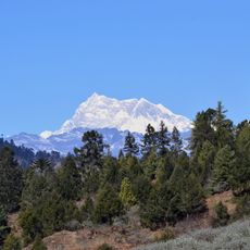
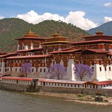
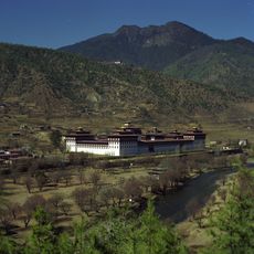
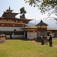
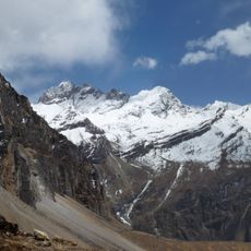
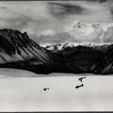
Kangphu Kang I, Mountain summit in Gasa District, Bhutan.
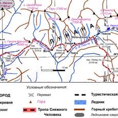
Kangphu Kang I is a 7,204 m summit on the Bhutan–China (Tibet) border, 12 km southeast of Tongshanjiabu. Its western and eastern tops are joined by a 2 km ridge that never drops below 7,000 m; the west top is given as 7,147 m on China's 1:50,000 PLA map. A 15 km north ridge with a 6,902 m point branches off the main divide.
The first recorded ascent took place in 2002 when a South Korean expedition team reached the summit. This climb marked an important milestone in Himalayan mountaineering history.
Bhutan has banned climbing Kangphu Kang for religious reasons, so the peak is approached only from the Tibetan side. The mountain lies on the Bhutan-China border, and its Tibetan name Shimokangri is used alongside Kangphu Kang. The 2,200-metre south wall facing Bhutan remains unclimbed.
Bhutan has banned climbing on Kangphu Kang for religious reasons, so the 2002 ascent was made from the north, in Tibet. The mountain lies on the Bhutan-China border, about 12 km southeast of Tongshanjiabu. The south wall, 2,200 m high between Kangphu Kang II and Jejekangphu Kang, has not been climbed.
The 2,200-metre south wall of Kangphu Kang has never been climbed. The mountain's lower western summit appears as 7,147 m on China's 1:50,000 People's Liberation Army map, while other sources give 7,207 m.
The community of curious travelers
AroundUs brings together thousands of curated places, local tips, and hidden gems, enriched daily by 92,787 contributors worldwide.