Trong Gewog, gewog in Zhemgang District, Bhutan
Location: Zhemgang District
Elevation above the sea: 1,355 m
GPS coordinates: 27.10936,90.67809
Latest update: April 7, 2025 03:15
Manas National Park
50.5 km
Raimona National Park
85.8 km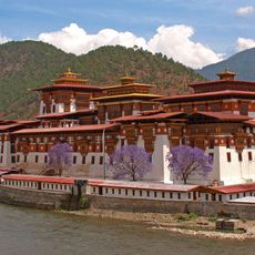
Punakha Dzong
96.2 km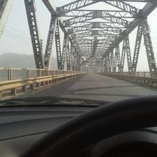
Naranarayan Setu
101 km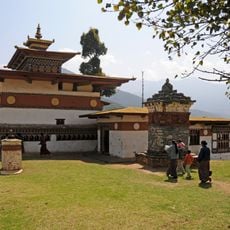
Chimi Lhakhang
91.8 km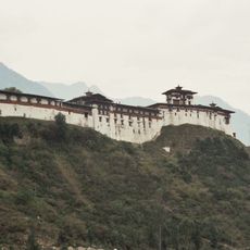
Wangdue Phodrang
86.6 km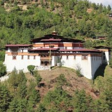
Simtokha Dzong
106.2 km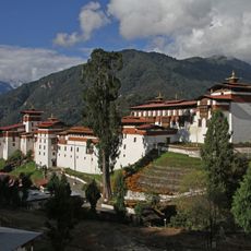
Trongsa Dzong
48.7 km
Royal Manas National Park
59.5 km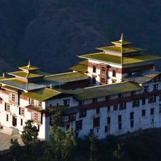
Trashigang Dzong
90.1 km
Jigme Singye Wangchuck National Park
25.1 km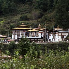
Kurjey Lhakhang
56.5 km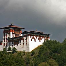
Jakar Dzong
49.4 km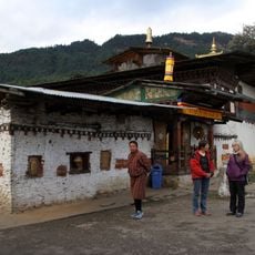
Tamshing Lhakhang
53.6 km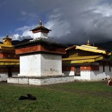
Jambay Lhakhang
52.2 km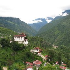
Lhuentse Dzong
76.1 km
Phibsoo Wildlife Sanctuary
73.6 km
Phrumsengla National Park
35.4 km
Wangchuck Centennial Park
78.2 km
Bhangagarh
44.1 km
Kongchogsaum Lhakhang
53.3 km
Yagang Lhakhang
79.4 km
Nalanda Buddhist Institute, Bhutan
97.2 km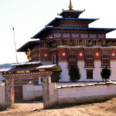
Ura Monastery
46.6 km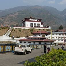
Oesel Choeling Monastery
102.2 km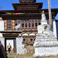
Sumtrhang Monastery
49 km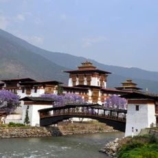
Punakha Cantilever Bridge
96.4 km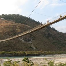
Category:Punakha Suspension Bridge
96.1 kmReviews
Visited this place? Tap the stars to rate it and share your experience / photos with the community! Try now! You can cancel it anytime.
Discover hidden gems everywhere you go!
From secret cafés to breathtaking viewpoints, skip the crowded tourist spots and find places that match your style. Our app makes it easy with voice search, smart filtering, route optimization, and insider tips from travelers worldwide. Download now for the complete mobile experience.

A unique approach to discovering new places❞
— Le Figaro
All the places worth exploring❞
— France Info
A tailor-made excursion in just a few clicks❞
— 20 Minutes