List of municipalities in Amapá, Administrative division documentation in Amapá, Brazil
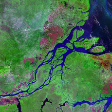
This list contains all 16 municipalities of Amapá state, ranging from the capital Macapá to smaller administrative units such as Cutias and Itaubal. Each municipality functions as an independent jurisdiction with defined borders and its own administrative structures.
The municipalities of Amapá underwent significant changes after 1943 when the region separated from Pará state and became a federal territory. This reorganization shaped the administrative boundaries and structures still seen today.
The municipalities reflect diverse population patterns, with Macapá holding 442,933 residents while Calçoene maintains 0.7 inhabitants per square kilometer.
The municipalities function as independent administrative units with defined borders and separate local authorities. Each is responsible for providing public services across its designated territory.
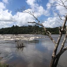
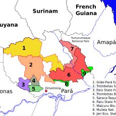
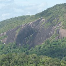
The region contains 12 conservation zones that protect about 72 percent of Amapá's total area. Parts of the Tumucumaque Mountains National Park are part of this network of protected lands.
The community of curious travelers
AroundUs brings together thousands of curated places, local tips, and hidden gems, enriched daily by 60,000 contributors worldwide.