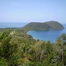
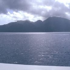
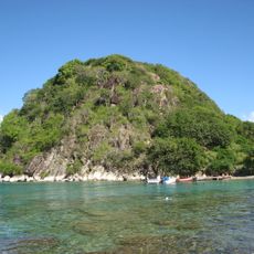
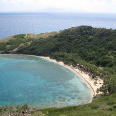
Prince Rupert Bluff Point, Coastal elevation point in Saint John Parish, Dominica.
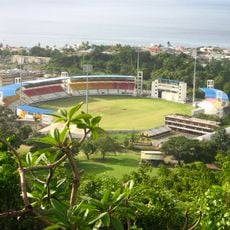
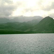
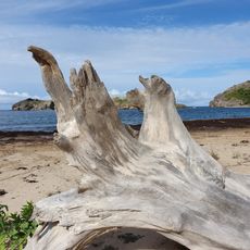
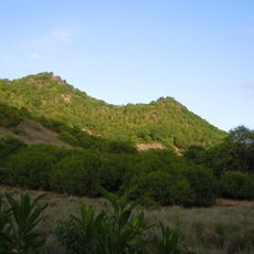
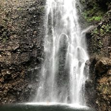
Prince Rupert Bluff Point is a coastal elevation on the western coast of Dominica that forms a prominent geographic landmark. The rise is easily visible from both land and sea approaches to the area.
The elevation received its name during the colonial period when British surveyors mapped the Caribbean coastline. Natural landmarks were documented at that time to aid maritime navigation.
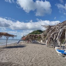
Local fishermen use this coastal point as a reference for traditional fishing grounds and navigation patterns across the Caribbean waters.
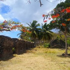
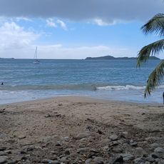
The point can be observed from coastal roads or from boat tours, though it is not directly accessible to most visitors. It is best viewed from water-based excursions or nearby vantage points along the shore.
The geological formation contributes sand to neighboring beaches through ongoing natural erosion. This continuous process of rock breakdown shapes the local coastal profile.
The community of curious travelers
AroundUs brings together thousands of curated places, local tips, and hidden gems, enriched daily by 60,000 contributors worldwide.