Morne Diablotin National Park, National park in northern Dominica
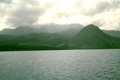
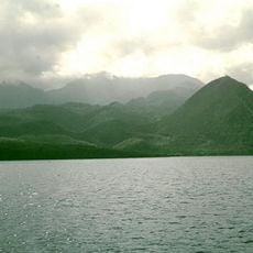
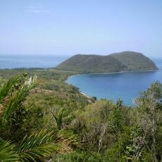
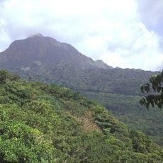
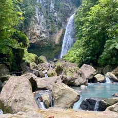
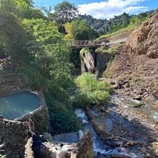
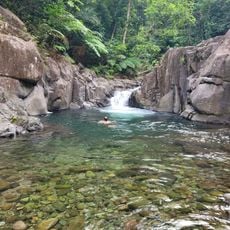
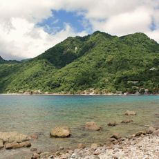
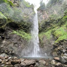
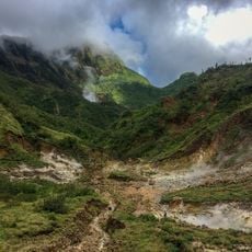
Morne Diablotin National Park is a mountainous protected area in northern Dominica crowned by the island's highest peak. The park contains multiple forest types that shift with elevation, each supporting different wildlife and plant communities.
This protected area was established in 2000 to safeguard critical wildlife habitats and preserve the island's natural heritage. The decision reflected growing recognition of the importance of protecting these landscapes for future generations.
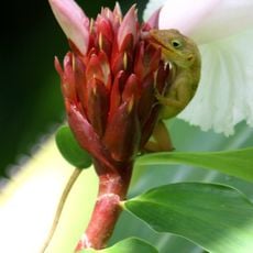
The park is home to the Sisserou Parrot, a large red bird featured on Dominica's national flag, making it an important symbol of island identity for local people. Hikers moving through the forest can encounter these striking birds and hear their distinctive calls echoing through the trees.
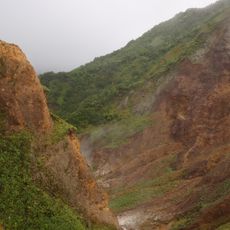
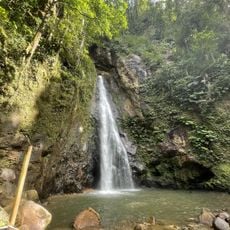
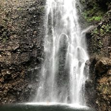
The park is best explored via the Syndicate Nature Trail, which offers multiple viewpoints for watching birds and observing forest life. Sturdy footwear is necessary as the terrain becomes steeper and muddier at higher elevations.
Morne Diablotin peak is the second-highest mountain in the entire Lesser Antilles chain of islands. This geological distinction makes the park a notable destination for hikers interested in the region's varied mountain landscape.
The community of curious travelers
AroundUs brings together thousands of curated places, local tips, and hidden gems, enriched daily by 60,000 contributors worldwide.