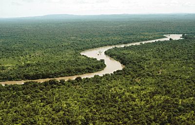
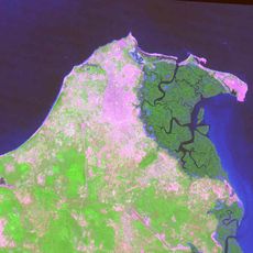
Gambia River, Major river system in Western Africa, Guinea.
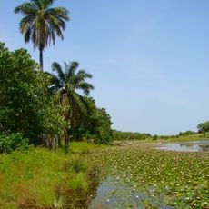
The Gambia River is a major waterway in Western Africa that originates in Guinea and flows more than 1,100 kilometers through Senegal and The Gambia before reaching the Atlantic Ocean. The river cuts through different landscape zones and connects inland areas with coastal regions.
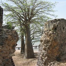
The river was first documented by Venetian explorer Alvise Cadamosto in 1455, marking the start of European involvement in the region. This contact later led to increased trade and exchange with Africa's interior.
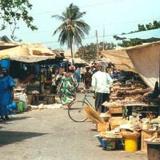
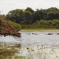
Local communities along the waterway rely on traditional fishing and oyster harvesting as core parts of daily life and livelihood. These practices shape the food traditions and economic activities that define the region.
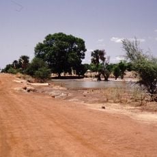
The river is navigable for roughly 500 kilometers from its mouth, allowing transport and goods movement between inland and coastal areas. Water conditions and accessibility can vary depending on the season and water level.
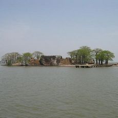
The river creates several islands through natural braiding processes, with Elephant Island and MacCarthy Island being the largest of these formations. These natural features shape the river's character along its course.
The community of curious travelers
AroundUs brings together thousands of curated places, local tips, and hidden gems, enriched daily by 60,000 contributors worldwide.