Enable Location

We need your location to show you interesting places around you

Discover nearby places

Find interesting locations and hidden gems around you

Precise directions

Get accurate directions and distances to places

Your location is never shared with other users. It's only used when you tap the location button.

Marigot Bay

Log in to your account

Start exploring — it's free

Trusted by 63,418 travelers worldwide

Continue with Google
Continue with Apple
or

We will send you a code to connect

By continuing, you accept our Terms and Conditions and our Privacy Policy

Check your inbox

We've sent a pincode in your inbox. Please enter the code below.

Marigot Bay
Discussion Reviews 1 Photos 1 Collections
9.7k Popularity

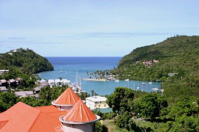
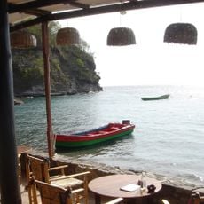
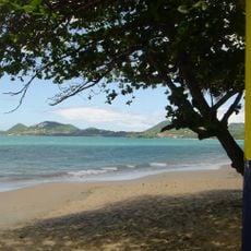
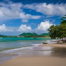
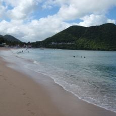
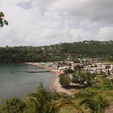
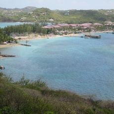
Marigot Bay, Natural harbor on western coast, Saint Lucia

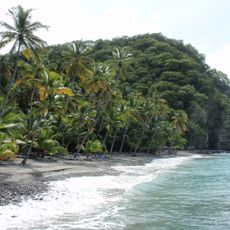
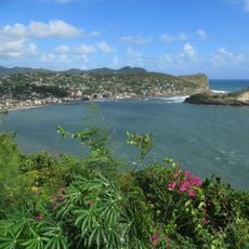
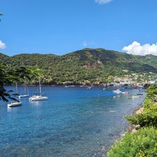
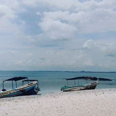
Marigot Bay is a natural harbor on Saint Lucia's western coast where deep blue waters rest between green mountains. The shoreline includes several small islands and islets that form this sheltered inlet.

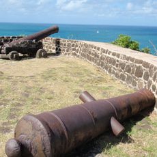
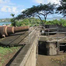
In the 17th century, ships used this sheltered location to hide from severe storms. The protected harbor made it a strategic refuge for seafarers during that era.

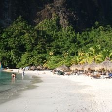
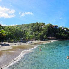
The bay serves as a gathering place where local residents and travelers share meals and music throughout the year. This mixing of communities happens naturally around the waterfront, especially during celebrations.

The bay is accessible to different types of watercraft and vessels. Visitors should check entry points and anchorage conditions when planning a visit.

Insurance companies recognize this bay as a hurricane hole because of its mountainous protection and minimal tidal changes. These natural features make it one of the safest anchorage spots during storm season.

The community of curious travelers

AroundUs brings together thousands of curated places, local tips, and hidden gems, enriched daily by 60,000 contributors worldwide.

Start exploring
Location
GPS coordinates
13.96618,-61.02403
Latest update
December 6, 2025 16:04
Photo locations in Saint Lucia

Saint Lucia combines volcanic landforms with tropical rainforest and coastal stretches shaped by both Atlantic and Caribbean waters. The island ranges from sea level to peaks reaching nearly 1,000 meters (3,280 feet), creating varied environments for photography. You will find subjects that include...

Reviews
Share your experience

No review yet

Discussions
Start a discussion...

No discussion yet

« Marigot Bay - Natural harbor on western coast, Saint Lucia » is provided by Around Us (aroundus.com). Images and texts are derived from Wikimedia project under a Creative Commons license. You are allowed to copy, distribute, and modify copies of this page, under the conditions set by the license, as long as this note is clearly visible.

Discover hidden gems everywhere you go!

From secret cafés to breathtaking viewpoints, skip the crowded tourist spots and find places that match your style. Our app makes it easy with voice search, smart filtering, route optimization, and insider tips from travelers worldwide. Download now for the complete mobile experience.

Around Us App Screenshot

A unique approach to discovering new places

Le Figaro

All the places worth exploring

France Info

A tailor-made excursion in just a few clicks

20 Minutes

Around Us
Travel Guide & Maps
Download

Send to your phone

QR Code
1

Open the camera app on your mobile.

2

Point at the QR code with your camera. A notification will appear.

3

Tap the notification to open the link.