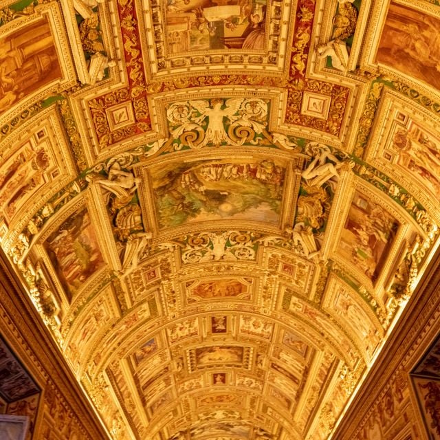
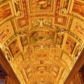
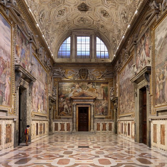
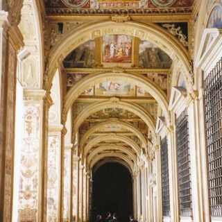
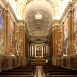
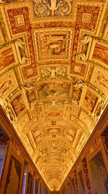
The Gallery of Maps, Map gallery in Vatican City.
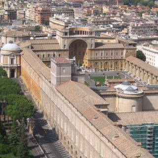
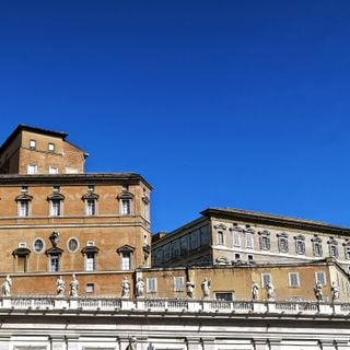
The Vatican's Gallery of Maps, housed in the Vatican Museums, is a grand corridor over 120 meters long.
Constructed under the direction of Pope Gregory XIII in 1580-83, it hosts maps of Italy based on drawings by friar and geographer Ignazio Danti.
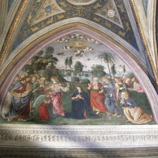
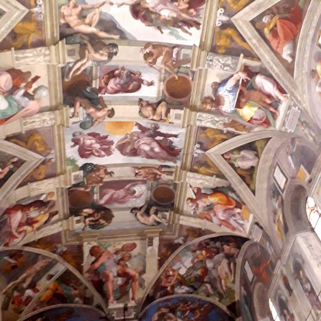
The paintings on the vaulted ceiling, completed during the pontificate of Urban VIII, depict episodes from the Bible.
The gallery connects the Tower of the Winds to the Chapel of St. Pius V.
It is one of the world's largest and most historic collections of geographical maps.
Address: VA, 00120
Website: christusrex.org/www1/vaticano/0-Musei.html
Sources: Wikimedia, OpenStreetMap
Filters