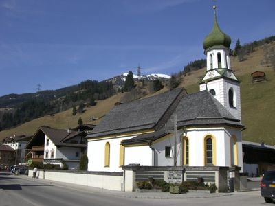
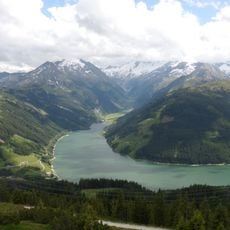
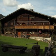
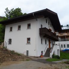
Gerlos, municipality in Schwaz District, Tyrol, Austria
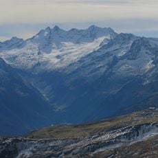
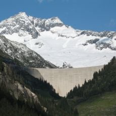
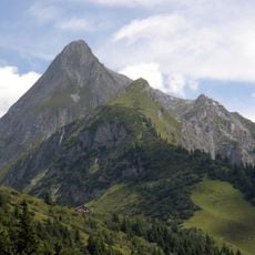
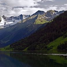
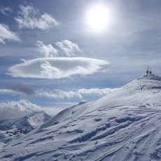
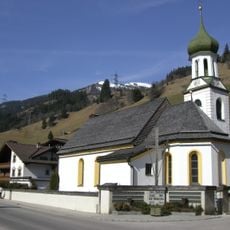
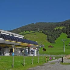
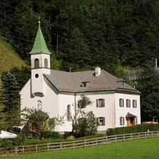
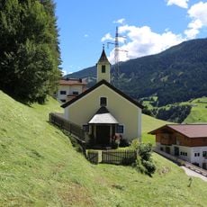
Gerlos is a rural municipality in the Zillertal valley, nestled among meadows, forests, and mountain peaks. The settlement spreads across several small clusters of buildings distributed along the valley slopes and connected by local roads.
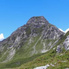
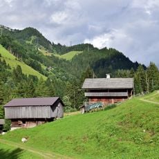
Gerlos developed as a farming settlement in a mountain valley and remained isolated for centuries, focused on livestock and agriculture. Road connections to neighboring areas only improved in recent decades.
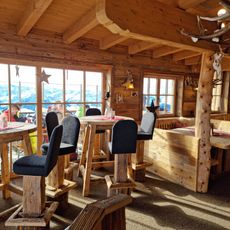
Visitors navigate through narrow mountain roads and should expect varying weather conditions, especially during colder months. Most facilities and accommodations sit along main routes and are easily accessible.
The community of curious travelers
AroundUs brings together thousands of curated places, local tips, and hidden gems, enriched daily by 60,000 contributors worldwide.