
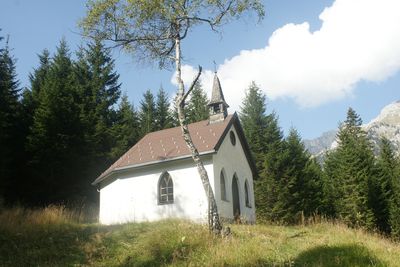
Wegkapelle Mariahilf, Nesselwängle, building in Nesselwängle, Austria
Location: Nesselwängle
Inception: 1950s
GPS coordinates: 47.47316,10.62060
Latest update: March 7, 2025 19:46
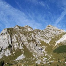
Rote Flüh
3.1 km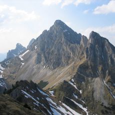
Kellenspitze
3 km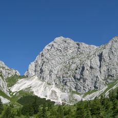
Gimpel
3.2 km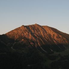
Krinnenspitze
2.7 km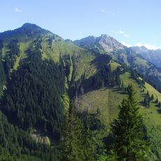
Hahnenkamm
1.7 km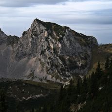
Schartschrofen
3.6 km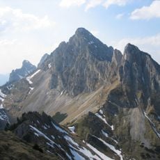
Babylonischer Turm
2.9 km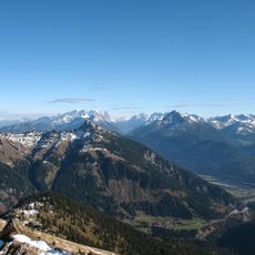
Gaichtspitze
1.6 km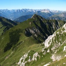
Schneid
2.9 km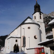
Pfarrkirche Mariä Himmelfahrt
1.6 km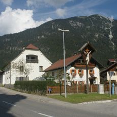
Kruzifix bei der Pfarrkirche
3.8 km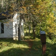
Kalvarienberg, Weißenbach am Lech
2.8 km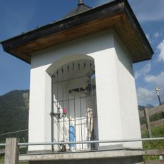
Weidekapelle
1.5 km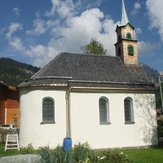
Kapelle Mariä Heimsuchung, Gaicht
1.2 km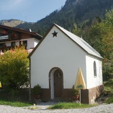
Stegmühlkapelle
1 km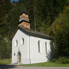
Mariahilfkapelle, Weißenbach am Lech
2.5 km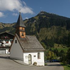
Dreifaltigkeitskapelle Rauth
1.1 km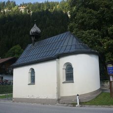
Johanneskapelle Haller
3.6 km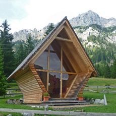
Dreikreuzkapelle
2.6 km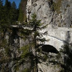
Bogenbrücke am Gaichtpass
2.1 km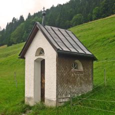
Regenbogenkapelle, Rauth
893 m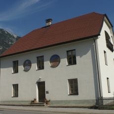
Pfarrhaus Weißenbach am Lech
3.7 km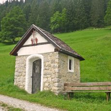
Mangkapelle, Nesselwängle
1.5 km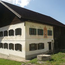
Widum, Nesselwängle
1.6 km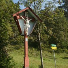
Kruzifix Rotes Kreuz, Untergaicht
3 km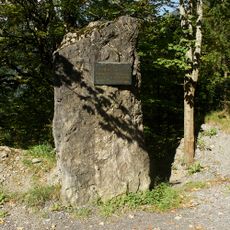
Gedenktafel Gaichtpass-Sperre
1.6 km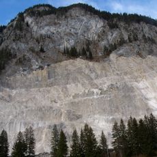
Höfen quarry
3.7 km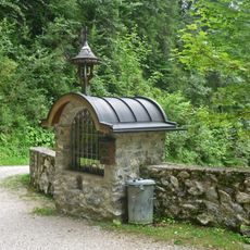
Gachtpaß-Marterl
1.9 kmReviews
Visited this place? Tap the stars to rate it and share your experience / photos with the community! Try now! You can cancel it anytime.
Discover hidden gems everywhere you go!
From secret cafés to breathtaking viewpoints, skip the crowded tourist spots and find places that match your style. Our app makes it easy with voice search, smart filtering, route optimization, and insider tips from travelers worldwide. Download now for the complete mobile experience.

A unique approach to discovering new places❞
— Le Figaro
All the places worth exploring❞
— France Info
A tailor-made excursion in just a few clicks❞
— 20 Minutes