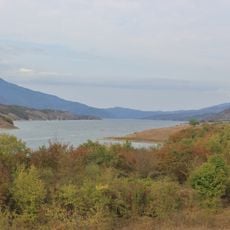
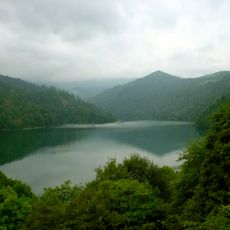
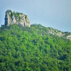
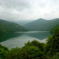
Murovdagh, Mountain chain in Kalbajar District, Azerbaijan.
Murovdagh is the highest mountain chain of the Lesser Caucasus, running about 70 km north from Hinaldag to Gamishdag and reaching 3,628 m at Gamishdag (other sources give 3,724 m). It is built mainly of Jurassic, Cretaceous and Paleogene sedimentary and volcanic rocks, with a rocky crest and slopes cut by deep gorges. A group of landslide-dammed lakes, including Göygöl, lies on the northeastern slope.
From the early 1990s the crest of Murovdagh marked the line between Azerbaijani-held territory to the north and the unrecognised Nagorno-Karabakh Republic to the south, with its southern slopes running through Martakert District. On 27 September 2020, the first day of the Second Karabakh War, President Ilham Aliyev announced that heights including the Murov summit had come under Azerbaijani control. Construction of the Murovdagh tunnel, 11.7 km long on the Toghanaly–Kalbajar–Istisu road, began on 16 August 2021 and it was technically opened on 21 August 2025.
The name has several explanations: Karl Hahn read Murovdagh as a corruption of "merab" (water-dividing) and "dagh" (mountain), while the Azerbaijani dictionary of toponyms gives "murov" as "river". Armenian tradition instead links Mrav to "mar" (darkness, mist) or to a commander named Mrav. Azerbaijani and Armenian shepherds traditionally used the summer pastures of the range.
Visiting requires good physical preparation due to the altitude and uneven terrain you will encounter. The warmer months from late spring through early fall offer the best conditions for travel and exploration.
The range's highest point is Gyamysh, given as 3,628 m in Azerbaijani sources and 3,724 m in Russian ones. The Murovdag tunnel, 11.7 km long on the Toganali–Kalbajar–Istisu road, was technically opened on 21 August 2025, linking Goygol and Kalbajar districts.
The community of curious travelers
AroundUs brings together thousands of curated places, local tips, and hidden gems, enriched daily by 93,384 contributors worldwide.