Guba, Administrative center in northeastern Azerbaijan
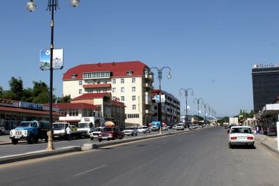
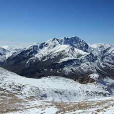
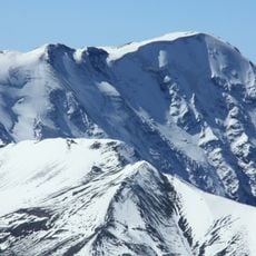
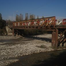
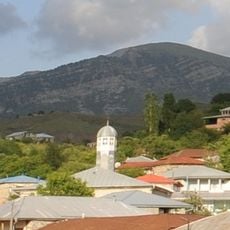
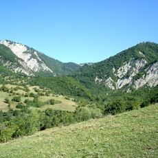
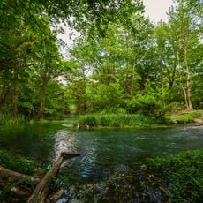
Guba is the administrative center in northeastern Azerbaijan, situated along the Kudyal River at the base of Shahdag Mountain. The area features apple orchards and gardens across varied elevations, with the city serving as the hub for the surrounding district.
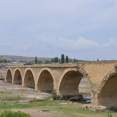
The city experienced its peak of influence under Fatali Khan's rule from 1758 to 1789, before Russian forces annexed the territory in 1813. This shift marked a turning point in the region's political development.
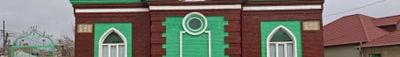
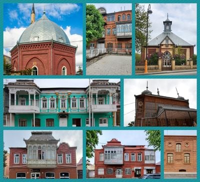
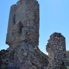
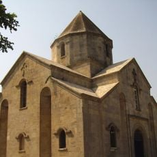
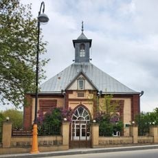
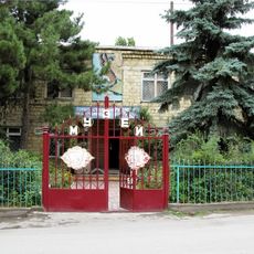
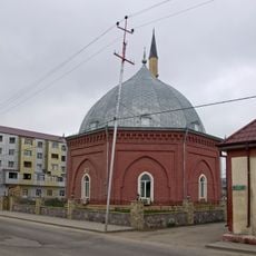
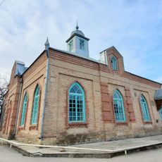
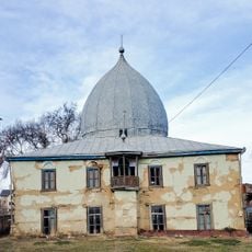
The two mosques in the city reflect regional building styles and show how the community has maintained its religious traditions through architecture. They serve as gathering places that connect people to their faith and local identity.
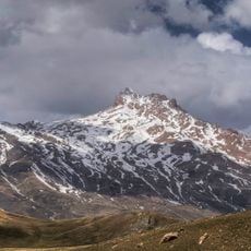
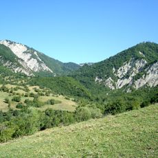
The city is easily accessible and serves as a key transportation hub for the surrounding mountain region. Visitors should note that weather in higher elevations can be significantly cooler than in the valleys below.
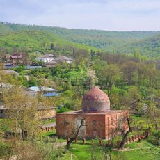
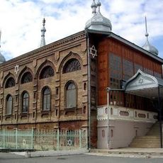
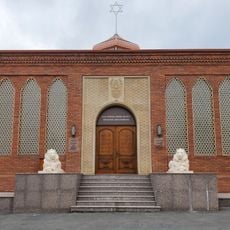
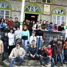
A suburb called Kirmizi Qasaba is home to the largest Mountain Jewish settlement in Azerbaijan, featuring multiple synagogues and cultural institutions. This community preserves its distinct traditions and religious practices in this remarkable location.
The community of curious travelers
AroundUs brings together thousands of curated places, local tips, and hidden gems, enriched daily by 60,000 contributors worldwide.